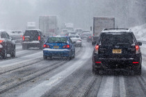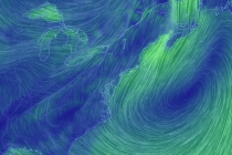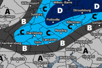
Jan 31: Weather Update
Discussion: I apologize for being offline for the last few days. I wanted to wait until today’s 12Z model suite populated to confirm the changes I’ve been seeing for the upcoming storm signals. They are as follows: Thursday Night into