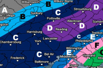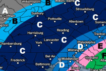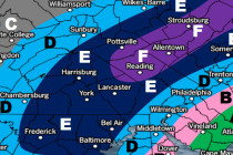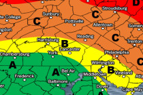
Feb 28: Strong Nor’easter Expected!
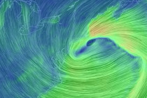
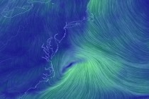
Rain Map: Please click here for full-resolution rain map! Wind Map: Please click here for full-resolution wind map! Snow Map: Please click here for full-resolution snow map! Discussion: I’m finding it very difficult to get a handle on the coastal flooding