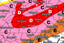
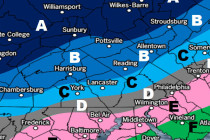
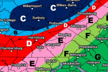
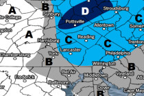
Let it Wash Over You (Feb 9-11)

Let it Wash Over You (Feb 9-11)

🕔21:58, 8.Feb 2018

Discussion: A weak wave could scrape NNJ with flurries/snow showers Friday afternoon-evening but little-to-no accumulation is expected. Departing high pressure should then establish in the W Atlantic and re-enforce warmer southerly flow as a weak low tracks through NJ from

Read Full Article
Feb 6: Wednesday Final Call and Snow/Ice Maps

Feb 6: Wednesday Final Call and Snow/Ice Maps

🕔17:01, 6.Feb 2018

Click here for full-resolution snow map! Click here for full-resolution ice map! Discussion: A wintry disturbance is approaching from W/SW. If you draw a line from West Virginia through SEPA and NYC into the Boston area, that’s where the low

Read Full Article
February Discussion with WeatherTrends360

February Discussion with WeatherTrends360

🕔11:26, 6.Feb 2018

It’s time to harness the WeatherTrends360 proprietary weather algorithms to see how the rest of February 2018 should play out. But first lets break New Jersey into proper climatological regions. We have the higher elevations of NNJ/NWNJ, the interior coastal plain (SWNJ through CNJ

Read Full Article
Wednesday Snow Map and Outlook (Feb 6-9)

Wednesday Snow Map and Outlook (Feb 6-9)

🕔16:00, 5.Feb 2018

Click here for full-resolution impact map! Discussion: A weak area of low pressure should ride a frontal boundary through SEPA and the NYC area between Wednesday afternoon and evening. This should bring area-wide precipitation. Those along and NW of I-95

Read Full Article
Feb 3: Sunday Weather Impact Map

Feb 3: Sunday Weather Impact Map

🕔15:04, 3.Feb 2018

Click here to view full impact map! Discussion: Low pressure will drive into the E Great Lakes before transferring to a weak coastal low just offshore of SENJ. Warm sector flow ahead of the low pressure should keep most of

Read Full Article
Mixed Conditions Expected (Feb 2-4)

Mixed Conditions Expected (Feb 2-4)

🕔18:23, 1.Feb 2018

 Click here for full resolution snow map! Discussion: A cold front will push through between now and tomorrow. The front is expected to push through the precipitation shield faster than the precipitation ends. Therefore this should produce a rain to

Read Full Article