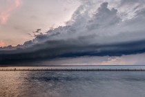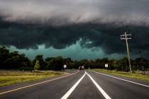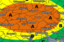
The Crap Weather Continues (June 1-3)
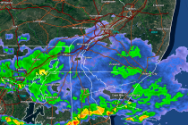
Discussion: Surface winds are currently off the ocean (out of SE) but they are interacting with the lower-mid levels of warmer S/SW flow. This is forcing the saturation that’s driving the current fog. Please be careful overnight and through tomorrow