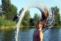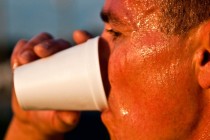
Warm and Unsettled (June 28-30)
Discussion: Upper-level ridging will temporarily give way to a shortwave/ULL between Sunday-Tuesday. That will eventually cool us off a little at the surface. But from now through Sunday morning the heat and humidity should remain. The dynamics Saturday, especially Saturday