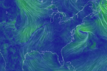
Possibly the Last Chilly Week
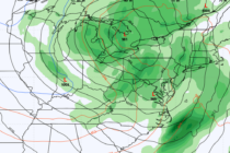
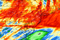
Discussion: The lower heights will soon move out of NJ. A series of ridging will then build over NJ for much of the foreseeable forecast period (through next weekend). An upper low departs the lower Mid-Atlantic US Mon-Tues. Then a