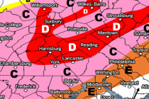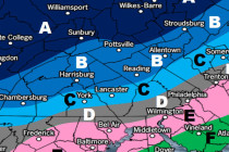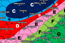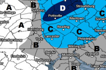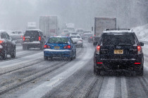
Let it Wash Over You (Feb 9-11)
Discussion: A weak wave could scrape NNJ with flurries/snow showers Friday afternoon-evening but little-to-no accumulation is expected. Departing high pressure should then establish in the W Atlantic and re-enforce warmer southerly flow as a weak low tracks through NJ from