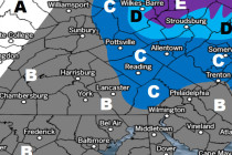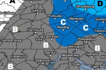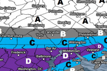
March 18: Snow Targeting New Jersey
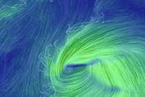
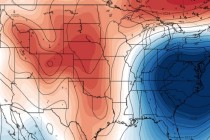
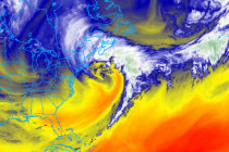
Please click here for full-resolution snow map! Discussion: The Pacific shortwave involved should track across the US from W to E along ~38N between now and Tuesday morning. Some northern stream energy should then try and inject into the trough Tuesday