

Cold Start to the Weekend (Feb 10-12)
Overnight tonight we’re cold and gusty. Temperatures should fall into the teens for most. SNJ might hang in the lower 20s but NWNJ could drop into the single-digits. Winds are still gusting 25-35mph across the state which basically makes it feel like Hoth outside. These winds should subside some into tomorrow but not fully.
Friday (Feb 10) high temperatures should struggle to break freezing for most. SNJ has the best shot. Skies should feature mixed sun and clouds. Passing flurries and snow showers cannot be ruled out as New Jersey temporarily aligns with the Great Lakes under colder flow. Winds should be light-to-breezy out of the W/NW. Overnight lows should fall into the 20s for most.
Note: A wintry clipper system will be passing by to our north overnight. It’s worth mentioning that the southern piece of it could drag some snow showers through NNJ overnight into Saturday morning. Only trace to light accumulations would be likely if such occurred.
Saturday (Feb 11) high temperatures should reach into the 40s for most with a small chance of breaking 50 in SNJ. Skies should be partly-to-mostly cloudy. Winds should be light out of the W/SW. Overnight lows should fall into the 30s for most. Coastal regions might hang in the lower-40s.
Sunday (Feb 12) high temperatures should range from upper 30s in NNJ to the mid-50s in SNJ. The reason for the larger range is because a low pressure disturbance will be moving through, bringing mostly rain and breeze through our region. That should eventually go onto become another powerful New England storm but it WILL BE weaker as it passes through our region. We’ll have to watch NNJ (and likely only extreme NNJ) for any wintry precipitation concerns. Otherwise, skies should be mostly cloudy with periods of light-to-moderate rainfall. Once the low gets over the ocean, we might feel some northerly winds try to crank again but they shouldn’t be as gusty as today/tonight. Overnight lows should stay mild as this system will need some of Monday to clear out.
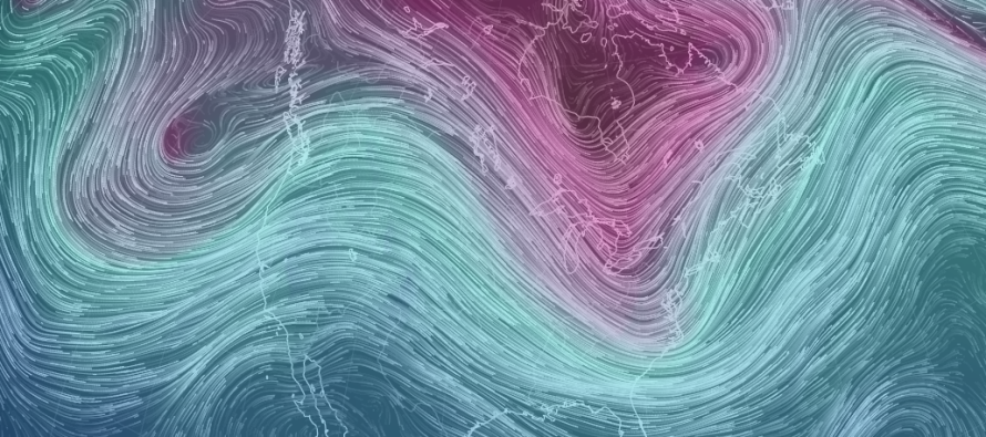
An early look at next week indicates a favorable pattern for winter storm development, specifically centered around a positively-phased PNA and Greenland block in the ~Feb 16 (Thursday) period. Despite the favorable pattern and upper-level setup, there’s nothing modeled at the surface that’s worth considering just yet. If a surface solution gains support over the weekend then we’ll be right back in the mess tracking another snow storm early next week. If the favorable pattern does not organize anything at the surface then it will not produce. Then we would likely just stay a few degrees below average and mostly dry for next week. Everyone have a great weekend and please be safe! JC
Jonathan Carr (JC) is the founder and sole operator of Weather NJ, New Jersey’s largest independent weather reporting agency. Since 2010, Jonathan has provided weather safety and forecasting services for New Jersey and immediate surrounding areas through the web, social media, and app spaces. Originally branded as Severe NJ Weather (before 2014), Weather NJ is proud to bring you accurate and responsible discussions ahead of high-stakes weather scenarios that impact the garden state. All Weather. All New Jersey.™


LOCAL FORECAST | INTERACTIVE RADAR | LATEST NJ WEATHER ALERTS | WEDDING FORECAST| PRIVACY POLICY
© Copyright 2024 Weather NJ LLC. All Rights Reserved.
Some information that can be found on our website is provided by a private weather station and is not an officially recognized station for weather reporting. Though we always strive to achieve accurate reporting for our own use, it is important that you do NOT depend on the data provided here for any purpose.

)