

Colder Drier Conditions Expected (Dec 21-23)

Discussion: We continue to monitor a Sudden Stratospheric Warming Event (SSWE) over the Arctic Ocean. Over the next few days we’re really going to see 10mb (stratospheric) height anomalies flex up that way. This squashes the tropospheric Polar Vortex (PV) below and forces the planet’s coldest circulating air mass the only way it can go…outward towards the mid-latitudes of the northern hemisphere. This cold air is currently expected to spill over our region in early January 2019. This likely means extreme cold by the second week of January if not slightly sooner. We saw something like this in early 2014. Until then expect the continued alternating pattern between mild/wet and cold/dry.
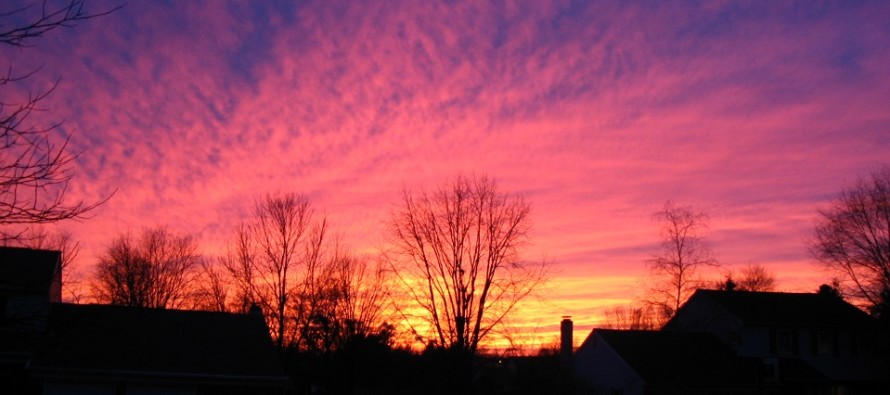
Friday (Dec 21) high temperatures should reach well above-average values, likely in the 60s for many. Skies should be mostly cloudy for at least the first half of the day as rainfall shuts off from S to N by early afternoon. Skies should gradually improve during PM hours. Winds should be breezy, even gusty at times, out of the S. Overnight lows should fall to the low-to-mid 40s for most.
Saturday (Dec 22) high temperatures should reach the mid-to-upper 40s. Skies should continue clearing as the cold front pushes through. Winds should be breezy-to-gusty out of the W/NW. Overnight lows should range from mid-20s to mid-30s NNJ to SNJ.
Sunday (Dec 23) high temperatures should reach the low-to-mid 40s for most. Skies should be mostly sunny. Winds should be light out of the W/SW. Overnight lows should fall into the low-to-mid 30s for most. Snow/rain showers are possible overnight into Monday.
An early look at next week indicates colder temperatures to start the week (through the Christmas period) followed by possibly another warm rainy system later in the week. Our best chance of snow exists Sunday night into Monday (Christmas Eve) morning. A snow/rain line would likely set up in CNJ with NNJ seeing snow and SNJ seeing light rain. This would only be in the form of snow/rain showers not an organized storm system. Therefore precipitation would be light with little-to-no accumulation. After that lake-effect flurries and squalls would be possible Christmas Eve and Day from strong flow over the still-warm lakes. NWNJ would be most subject to such. Overall the chances of a White Christmas are low for most of NJ especially the lower 2/3 of NJ. Super long-range signals indicate bitter cold coming to NJ by the second week of January. And yes I know January is “normally cold” but not like this. Let’s see how everything looks in a few days. Have a great weekend and please be safe! JC
Jonathan Carr (JC) is the founder and sole operator of Weather NJ, New Jersey’s largest independent weather reporting agency. Since 2010, Jonathan has provided weather safety and forecasting services for New Jersey and immediate surrounding areas through the web, social media, and app spaces. Originally branded as Severe NJ Weather (before 2014), Weather NJ is proud to bring you accurate and responsible discussions ahead of high-stakes weather scenarios that impact the garden state. All Weather. All New Jersey.™


LOCAL FORECAST | INTERACTIVE RADAR | LATEST NJ WEATHER ALERTS | WEDDING FORECAST| PRIVACY POLICY
© Copyright 2024 Weather NJ LLC. All Rights Reserved.
Some information that can be found on our website is provided by a private weather station and is not an officially recognized station for weather reporting. Though we always strive to achieve accurate reporting for our own use, it is important that you do NOT depend on the data provided here for any purpose.

)