

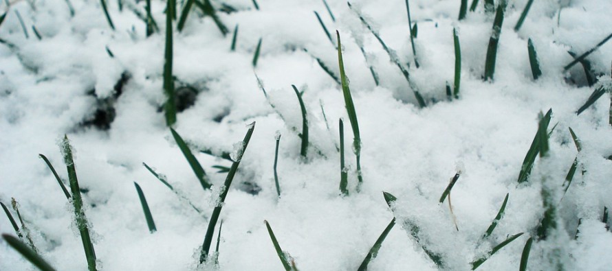
Feb 27: Friday AM Snow Detected

Discussion: The current NNJ wintry disturbance is performing light as expected. The first wave came through earlier today and we are now in the expected lull. The second wave of NNJ snow is expected later this evening and into early tomorrow (Thursday) AM. Again nothing major. Light accumulations at best. Our next wintry disturbance is targeting most of NJ (lower 2/3) early this Friday morning with SNJ favored to see the most. The wave in general should impact NJ for Friday pre-dawn hours just before the AM rush hour commute.
Like many of the recent light wintry events this is a weak shortwave in above-average 500mb geopotential height anomalies. I’n not seeing a strong 250mb jet over our region either. With that said we have a weak thermally-driven disturbance at the lower levels, just strong enough to ring out some moisture. 700mb, 850mb and 925mb all look cold enough to support snow statewide. The surface looks cold enough for snow to stick for all areas except the immediate SENJ coast where temperatures will be marginal. For the SENJ coastal areas near or just above-freezing you could be looking at a white rain event for roads/paved surfaces with maybe some stickage on natural surfaces. It would take super intense rates of snow to stick to the roads. This is not impossible but I at least think roads will accumulate less than on natural surfaces. For the rest of NJ with colder surfaces this snow should fall during the coldest part of the overnight and therefore accumulate. The main takeaway should be a light snow event, but possibly disruptive because of timing, this Friday morning. The overall general window of impact currently looks like 2am to 8am on Friday morning with the heaviest rates of snow occurring between 3-6am.
Beyond that the general storm signal remains alive for the Sunday PM to Tuesday AM period. We are still not close enough for details but confidence is growing in the general signal. This will likely be a much heavier event precipitation and wind-wise given the available upper-level energy and cold. 500mb geopotential height anomalies should transition to below-average for this one. There will likely be a snow/rain line involved. Let’s let the Friday morning system clear before assessing such detail. Just know the signal is there.
In English: Light snow is likely across NNJ this evening through early tomorrow morning with light accumulations at best. The next wintry event is shaping up for this Friday morning for NJ. Snow could start as early as 2am but likely won’t get going until pre-dawn AM hours just prior to or near rush hour Friday morning. SNJ is favored to see the heaviest rates of snow but the entire lower 2/3 of NJ is on the hook to see snow reach the ground. For the SNJ jackpot we’re currently thinking 2-4 inches with lighter amounts further N in CNJ/northern SNJ. Not a major event but likely poorly timed with the Friday AM rush hour commute. We might see some snow showers re-develop Friday night into Saturday morning as well. I’m still monitoring the heavier wintry threat period of Sunday night through Tuesday morning. Too early for details just yet given the uncertainty but that should change by the time the Friday AM event is out of here. Download the new free Weather NJ mobile app on Apple and/or Android. It’s the easiest way to never miss Weather NJ content. Our premium services go even further above and beyond at the hyperlocal level. Have a great rest of your Tuesday and please be safe! JC
Jonathan Carr (JC) is the founder and sole operator of Weather NJ, New Jersey’s largest independent weather reporting agency. Since 2010, Jonathan has provided weather safety and forecasting services for New Jersey and immediate surrounding areas through the web, social media, and app spaces. Originally branded as Severe NJ Weather (before 2014), Weather NJ is proud to bring you accurate and responsible discussions ahead of high-stakes weather scenarios that impact the garden state. All Weather. All New Jersey.™


LOCAL FORECAST | INTERACTIVE RADAR | LATEST NJ WEATHER ALERTS | WEDDING FORECAST| PRIVACY POLICY
© Copyright 2024 Weather NJ LLC. All Rights Reserved.
Some information that can be found on our website is provided by a private weather station and is not an officially recognized station for weather reporting. Though we always strive to achieve accurate reporting for our own use, it is important that you do NOT depend on the data provided here for any purpose.
