

Feb 9: Arctic Outbreak Detected!
The coldest air mass of the entire winter is coming to New Jersey this weekend. Arctic high pressure will drop out of Canada over the Great Lakes and literally hurl down some of the coldest air on the planet through Valentine’s Day with the eastern side of its anti-cyclonic flow.
This next image shows this Sunday (Feb 14) morning’s 850mb temperatures (about 5,000 feet above sea level):
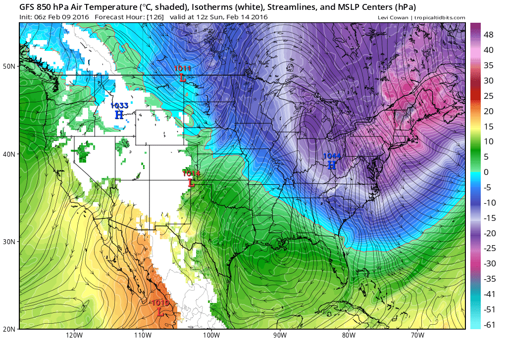
As you can see temperatures at 850mb are modeled to dip into the -20 to -30 Celsius range (-4 to -22 Fahrenheit). It is important to note that this is not how cold the surface will get. Not all cold extrapolates to the surface but I do think we could be looking at 0-15 Fahrenheit (NNJ to SNJ) during the overnight periods of this outbreak with highs failing to escape the single digits/teens.

In English: It’s going to be a very cold this weekend. Once this current system is out of the region tomorrow, temperatures will gradually begin to drop and then bottom out Saturday into Sunday. It might be ~Feb 20 before the mid-levels of the atmosphere come up for air above freezing. I don’t see any snow storms that surround the cold this weekend. But given the strong NW flow that should occur over the Great Lakes with the intrusion of this Arctic outbreak, lake effect flurries and snow showers (flizzards) are possible. Be safe! JC
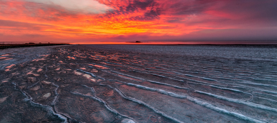
Model images courtesy of Tropical Tidbits. Cover image taken by me during last February’s Arctic outbreak from Harvey Cedars, NJ.
Jonathan Carr (JC) is the founder and sole operator of Weather NJ, New Jersey’s largest independent weather reporting agency. Since 2010, Jonathan has provided weather safety and forecasting services for New Jersey and immediate surrounding areas through the web, social media, and app spaces. Originally branded as Severe NJ Weather (before 2014), Weather NJ is proud to bring you accurate and responsible discussions ahead of high-stakes weather scenarios that impact the garden state. All Weather. All New Jersey.™


LOCAL FORECAST | INTERACTIVE RADAR | LATEST NJ WEATHER ALERTS | WEDDING FORECAST| PRIVACY POLICY
© Copyright 2024 Weather NJ LLC. All Rights Reserved.
Some information that can be found on our website is provided by a private weather station and is not an officially recognized station for weather reporting. Though we always strive to achieve accurate reporting for our own use, it is important that you do NOT depend on the data provided here for any purpose.
