

Jan 10: First Light Snow Detected!
A clipper system should bring periods of light snow to our region this Tuesday-Wednesday. Exact timing is starting to be come into focus. Light snow could begin falling between late afternoon/early evening on Tuesday and taper off by the early AM hours of Wednesday.
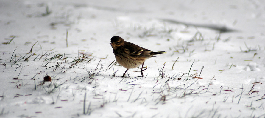
It is important to note that nothing substantial should be expected out of this. For New Jersey, clippers are generally moisture starved and commonly know for anything from flizzards with trace accumulations to a few inches of fine powdery snow (during over-performance). It’s the kind of snow you can sweep away with a broom.
The center of this northern stream system should pass to our N, dragging an Arctic front through our region to its S. Light snow is possible just ahead and along this front however I think NW wind gusts and brutal chill will make for bigger headlines during overnight hours. Even if this system only drops trace accumulations, brief whiteout conditions will be possible, especially under any concentrated squalls that form.
For most, this will just the first opportunity for conversational snow this winter. However if this clipper over-performs then rush hour on Tuesday evening/Wednesday morning could get dicey. I’ll have a much better idea of accumulations tomorrow evening as well as even more concentrated timing.
The more important aspect of this clipper is where it will go afterwards and how strong it will get. It should intensify and form a 50/50 low which would enhance the west-based Greenland block for any potential snow storms on the horizon that try to come up the coast.
Ensembles (more important at this point) and some operational deterministic models (less important this far out) are converging on a synoptic storm solution in the Jan 17-18 time frame. I’m sticking to my guns in seeing how this clipper plays out before committing to any surface solution beyond it. With that said, not much has changed. The pattern remains favorable at the upper levels. The surface is modeled all over the place. I’ll continue to watch the January 17-18 signal but for now, enjoy any light snow you see on Tuesday-Wednesday.
In English: Winds are currently out of the S for most but expect them to howl overnight out of the W/NW as the cold front passes through. Monday and Tuesday should be cold but then the clipper passage Tuesday night into Wednesday morning should usher in even colder air mass. The clipper will be most likely felt as brutal wind chills and light scattered blowing snow. A conservative range for accumulations is anything from just a dusting up to an inch or two if it were to over-perform. For now I’m leaning towards the former. It starts as early as PM rush hour on Tuesday and ends as late as AM rush hour on Wednesday. Most should fall during overnight hours. We then watch the Jan 17-18 period as the heavily-modeled winter storm signal continues to evolve. I’ll have this week’s Monday-Friday Outlook posted tomorrow morning. Be safe! JC
Jonathan Carr (JC) is the founder and sole operator of Weather NJ, New Jersey’s largest independent weather reporting agency. Since 2010, Jonathan has provided weather safety and forecasting services for New Jersey and immediate surrounding areas through the web, social media, and app spaces. Originally branded as Severe NJ Weather (before 2014), Weather NJ is proud to bring you accurate and responsible discussions ahead of high-stakes weather scenarios that impact the garden state. All Weather. All New Jersey.™


LOCAL FORECAST | INTERACTIVE RADAR | LATEST NJ WEATHER ALERTS | WEDDING FORECAST| PRIVACY POLICY
© Copyright 2024 Weather NJ LLC. All Rights Reserved.
Some information that can be found on our website is provided by a private weather station and is not an officially recognized station for weather reporting. Though we always strive to achieve accurate reporting for our own use, it is important that you do NOT depend on the data provided here for any purpose.
