Jan 16: Snow Update

Discussion: The cold front is slowly approaching from the W and extreme NNJ is underway with snowfall. The front will slowly push to the SE between tonight and tomorrow. By midnight tonight, snowfall should continue its creep SE into the rest of NJ. I don’t expect anyone SE of 95/NJTP to start snowing until closer to midnight, maybe just after (after changing over from a possible rainy mix).
A weak coastal low has formed off OBX and is expected to track to the N/NE ahead of the front. The northern side of this weak cyclonic flow has pulled above-freezing temperatures off the ocean into most of the coastal plain including SNJ and parts of CNJ. That’s why most of CNJ/SNJ rose into the low-to-mid 40s today at the surface. 925mb, 850mb and 700mb levels are all below freezing over New Jersey so once the sun sets and precipitation starts, points SE will likely fall below freezing. This should happen overnight as precipitation departs the coast sometime between tomorrow morning and afternoon.
Our most recent snowfall map stands as called. It’s looking like a light-to-plowable snow event N of I-80 (mostly for NWNJ). Areas S and SE of that in NJ are subject to a rain/mix before changing over to snow tomorrow morning which obviously will knock down accumulation potential as indicated on our map. Whatever snow does fall for the coastal plain will likely struggle to accumulate, especially on paved surfaces.
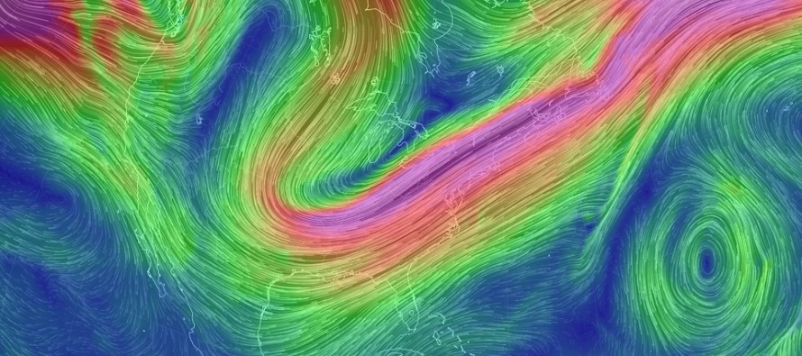
Another coastal system will try to get its act together tomorrow afternoon-evening but most precipitation will likely stay offshore. Areas like Virginia/North Carolina could see this additional snowfall (what SENJ would have seen if the coastal hugged the coast more). I’m watching right now at 500mb for the upper-level low to close off like the Euro and RGEM have been suggesting. Should this happen then you can’t rule out additional light snowfall for extreme SENJ later tomorrow. Given the positive-tilted nature of the upper-level trough and general progressive setup, I wouldn’t expect much though. Coastal flurries/snow showers at best and likely only a 20% chance of such. Most areas should wrap up snowfall by noon tomorrow if not earlier.
In English: Snowfall has begun for NNJ. CNJ and SNJ are still kind of warm at the surface but will be cooling overnight. As this happens snowfall should spread SE into CNJ and lastly SNJ before ending tomorrow morning. Our most recent snowfall map stands as called aside from a slightly-later start and finish to precipitation. A micro chance of flurries and snow showers for SENJ exists tomorrow afternoon-evening but I wouldn’t hold my breath on that. After that we’re cold and dry to finish the week followed by a warm-up starting this weekend. Have a great night and please be safe! JC
For comprehensive and interactive hyper-local analysis that goes way above and beyond the detail of this public forecast, check out our premium services which include text notifications and forum access.
Jonathan Carr (JC) is the founder and sole operator of Weather NJ, New Jersey’s largest independent weather reporting agency. Since 2010, Jonathan has provided weather safety and forecasting services for New Jersey and immediate surrounding areas through the web, social media, and app spaces. Originally branded as Severe NJ Weather (before 2014), Weather NJ is proud to bring you accurate and responsible discussions ahead of high-stakes weather scenarios that impact the garden state. All Weather. All New Jersey.™


