

Jan 30: Flizzards Possible Today
Instability-driven snow showers are possible later this afternoon into evening. Let’s break it down…
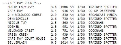
First, a quick recap of this morning. The light snow event happened but about 20-30 miles SE of expectation. Overnight dynamics panned out a bit flatter than expected. Cape May County verified with the highest totals while parts of Cumberland and Atlantic (surrounding counties) saw a dusting. This 20-30 mile shift removed most of Cumberland, E Burlington and S Ocean from the equation. Here are the official Cape May County totals from the NWS at Mt. Holly, NJ:
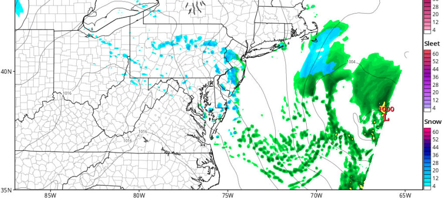
Onto the next snow possibility. This model is the ultra short-range HRRR showing precipitation between 5-6pm:
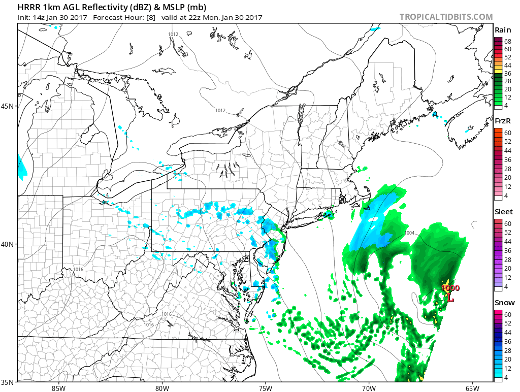
Just like in the warmer months where instability helps produce thunderstorms, it can happen in the winter too with snow showers and squalls. This evening we’re dealing with some pretty impressive local dynamics which could produce quick-passing snow showers at a hyper-local level. This cluster of snow showers would move from NW to SE through NJ between about 3PM and 9PM.
Due to their quick-moving nature, I wouldn’t expect much to accumulate on roads and paved surfaces. Maybe a coating on natural surfaces and parked cars. The biggest threat would be a temporary reduction in visibility due to a short-but-heavy burst of snow. We then look to Tuesday morning for another wave to bring light snow to NNJ (mostly along and N of I-78). I’ll have a snow map out on that later tonight.
In English: Quick moving flizzards are possible later this afternoon through evening. They should move in from the NW and depart to our SE. At this point, model guidance is targeting the lower 2/3 of NJ. Not everyone will see them due to their scattered nature but those who do could see a decent but quick burst of snow. Accumulations should be little-to-none but visibility could be temporarily reduced directly underneath. We then look to another light snow event but this one is focused on NNJ Tuesday morning. I’ll have more on that later tonight after reviewing today’s data. Be safe! JC
Jonathan Carr (JC) is the founder and sole operator of Weather NJ, New Jersey’s largest independent weather reporting agency. Since 2010, Jonathan has provided weather safety and forecasting services for New Jersey and immediate surrounding areas through the web, social media, and app spaces. Originally branded as Severe NJ Weather (before 2014), Weather NJ is proud to bring you accurate and responsible discussions ahead of high-stakes weather scenarios that impact the garden state. All Weather. All New Jersey.™


LOCAL FORECAST | INTERACTIVE RADAR | LATEST NJ WEATHER ALERTS | WEDDING FORECAST| PRIVACY POLICY
© Copyright 2024 Weather NJ LLC. All Rights Reserved.
Some information that can be found on our website is provided by a private weather station and is not an officially recognized station for weather reporting. Though we always strive to achieve accurate reporting for our own use, it is important that you do NOT depend on the data provided here for any purpose.
