

Mar 19: Saturday Evening Observations
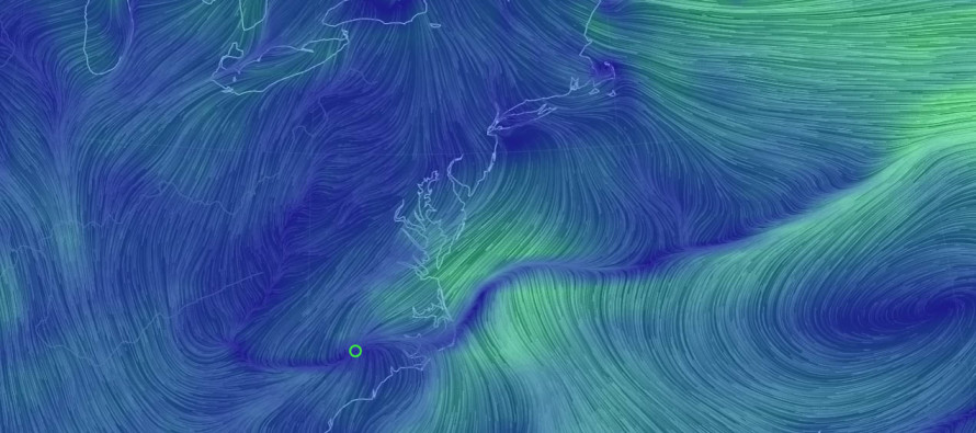
Overnight models took the storm east however today’s models have taken steps back west to how things sort of looked yesterday. Maybe a half step back. We’re getting to the point now where it’s time to live-cast. Precipitation has been training over SNJ over the last few hours. Most have seen a mix of rain/sleet/snow. Areas under heavier precipitation are seeing more of a wintry mix than areas under lighter precipitation. This is because of the cold air aloft that the precipitation is dragging down with it. Temperatures are dropping but will have a hard time reaching freezing at the surface. With that said, any remaining precipitation through SNJ this evening and through tomorrow morning should present minimal road hazards. CNJ and NNJ appear dry until tomorrow when precipitation expands around the NW side of the coastal low.
We might see a break in precipitation tomorrow during the day before the heavier snow returns for Sunday afternoon through possibly early Monday AM. This snow will have the best chance to stack up but again, likely on natural surfaces only. Roads should struggle to see anything more than a slushy coating.
With that said, the heaviest axis of snowfall no longer looks like along I-95 and to the NW of it. It now looks to be more along I-95 and to the SE including most of SENJ. I still believe up to 6 inches could fall out of the sky in this jackpot area, with only a fraction of it actually accumulating. This would mean lesser snowfall for those to the NW of I-95 and a sharp cut-off in precipitation through EPA. Again, roads will be the last place to accumulate and only a slushy coating at best. The lower levels of the atmosphere are going to put up a warmer fight despite the colder air aloft. The only chance of over-performance is if precipitation rates absolutely rip after sunset tomorrow night. That is how it looks for now.

In English: It is still going to snow. The heaviest snowfall now looks to occur SE of the turnpike instead of NW of the turnpike. Despite significant snowfall, only trace to light accumulations are expected with roads likely just wet/possibly a slushy coating. The main period of interest is tomorrow evening when the sun sets during the heaviest snowfall. Anything that falls overnight tonight and during daylight hours tomorrow will present little to no surface disruption. Tomorrow evening into early Monday AM could be a bit dicey however. Let’s see where we’re at in the morning. Have a great night and be safe! JC
Jonathan Carr (JC) is the founder and sole operator of Weather NJ, New Jersey’s largest independent weather reporting agency. Since 2010, Jonathan has provided weather safety and forecasting services for New Jersey and immediate surrounding areas through the web, social media, and app spaces. Originally branded as Severe NJ Weather (before 2014), Weather NJ is proud to bring you accurate and responsible discussions ahead of high-stakes weather scenarios that impact the garden state. All Weather. All New Jersey.™


LOCAL FORECAST | INTERACTIVE RADAR | LATEST NJ WEATHER ALERTS | WEDDING FORECAST| PRIVACY POLICY
© Copyright 2024 Weather NJ LLC. All Rights Reserved.
Some information that can be found on our website is provided by a private weather station and is not an officially recognized station for weather reporting. Though we always strive to achieve accurate reporting for our own use, it is important that you do NOT depend on the data provided here for any purpose.
