

March 10: Winter Storm Concern Growing
Discussion: I wish I had more to give you at this point but we’re still in a holding pattern due to the complexity of the upper-level physics. We are looking slightly snowier than yesterday though. This is no longer about the NE US/SE Canadian upper-level low remaining in place for too long. It seems like that’s going to move out in time before squashing the southern energy and producing the complete miss out to sea. This keeps at least SENJ on alert for light-to-significant accumulations.
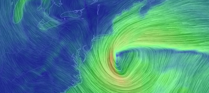
The complicated issue now is the northern piece of energy that wants to dive into the Great Lakes area and interact with the southern energy. In a 100% realization of interaction, it would produce a negatively-tilted trough which would pull the surface low up the coast. That’s your worst case scenario and could result in widespread significant+ accumulations, If only a partial interaction (similar to an inverted trough) is realized then then the low would likely pass way to our SE but still produce the light-to-significant snowfall scenario for SENJ (maybe all the way to 95). The lifting would be from the IVT though not the coastal dynamics that would be too far out to sea. If the interaction is missed (northern energy hangs too long) then you’re looking at an even minimal wintry scenario for SENJ.
Another complication is the temperature profile. The surface line of freezing is expected to run through NNJ (N of Philly…N of I-95). The 850mb line of freezing (~5k feet up) is expected to be way offshore. Therefore this is likely another system where snowfall accumulations will be precipitation-rate dependent. This means that only heavy snowfall will stick. Lighter snowfall would likely melt on contact because it cannot bring the colder air down with it.
We’re going to give this another day before making a first call snow map. Timing is still looking like a Monday PM-Tuesday event with this Sunday and Monday morning likely spared. Our final call would then be on Monday earlier in the day. Despite the extreme uncertainty I can say that overall, guidance has trended snowier for New Jersey today. The storm is modeled very strong (sub-980mb) so the precipitation shield could impress with NW extent.
In English: Yesterday I told you I was 25/50/25… statewide snow storm/SENJ snow only/miss out to sea. Today I am 40/50/10. The period to watch for this is still Monday afternoon through Tuesday evening. Serious storm tracking starts tomorrow. Everyone have a great Saturday night and please be safe! JC
For comprehensive and interactive hyper-local analysis that goes way above and beyond the detail of this public forecast, check out our premium services which include early hyper-local text notifications and guaranteed individual forum interaction. A must for outdoor businesses that depend on the best real-time data possible.
Jonathan Carr (JC) is the founder and sole operator of Weather NJ, New Jersey’s largest independent weather reporting agency. Since 2010, Jonathan has provided weather safety and forecasting services for New Jersey and immediate surrounding areas through the web, social media, and app spaces. Originally branded as Severe NJ Weather (before 2014), Weather NJ is proud to bring you accurate and responsible discussions ahead of high-stakes weather scenarios that impact the garden state. All Weather. All New Jersey.™


LOCAL FORECAST | INTERACTIVE RADAR | LATEST NJ WEATHER ALERTS | WEDDING FORECAST| PRIVACY POLICY
© Copyright 2024 Weather NJ LLC. All Rights Reserved.
Some information that can be found on our website is provided by a private weather station and is not an officially recognized station for weather reporting. Though we always strive to achieve accurate reporting for our own use, it is important that you do NOT depend on the data provided here for any purpose.
