

March 2: Winter Storm Update
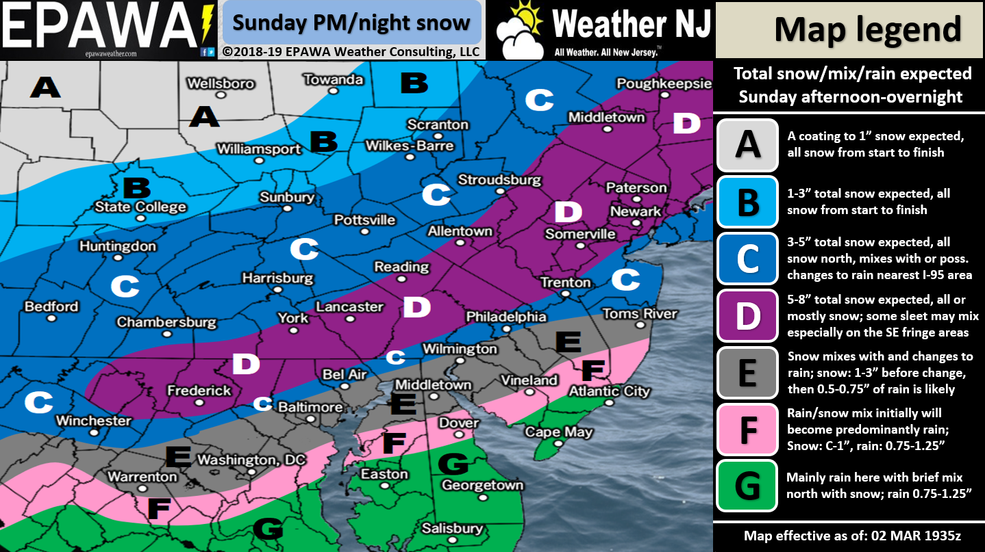
Click here for full-resolution snow map!
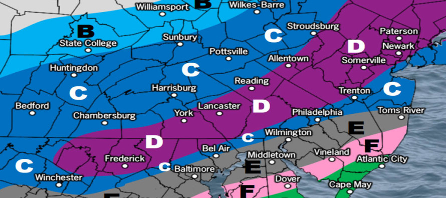
Discussion: My suspicions were correct yesterday. Well at least the data is trending that way today. The second system was able to lower the height field behind it. This should allow a more southern low track for the last of the three systems. It should also allow for colder air (TPV injection) to reach further SE within the precipitation shield. As I mentioned yesterday this would come at the cost of lowering totals for the jackpot zone but redistributing them further S in NJ. Therefore this is now becoming more of a plowable event for CNJ not just NNJ. Use the above map as general guidance but zones C and D are going to jackpot the most from this system which are basically the northern half of NJ. Zone E is the wildcard IMO. It could behave like C if the system is colder overall or like F if the warmer air is able to advect further NW. Zones D, F and G are more confident at this time.
Zones C (south) and E need a special caveat about the surface temperature profile. It is possible that overnight temperature between Sunday and Monday hover near or even slightly above freezing for such zones. Therefore accumulation would be dependent on heavy rates of snow. Snow would need to fall faster than it melts upon hitting the surface. Areas of weaker precipitation (between bands/dry slots/etc) might struggle to accumulate (white rain effect). This is especially for paved surfaces. In these areas it will be easier for snowfall to accumulate on natural/cold surfaces like grass and cars that haven’t been running. Zones C (south) and E are likely snow to rain situations. Rain should wipe out any trace accums in SENJ fast but take a bit longer to slush up the light accums initially possible closer to the turnpike. N of the turnpike should see all snow/all stickage.
After this system clears out a broad upper-level trough should swing through and bring well below-average temperatures to NJ. The Monday-Friday outlook will cover this tomorrow but Monday night through at least Thursday look rather cold. Friday into Saturday is our next synoptic storm signal.
In English: Precipitation should begin tomorrow as early as 3PM in SWNJ and spread throughout all of NJ by 7PM. Temps will be dropping through sundown as this happens after a relatively mild day. Initial precipitation type could be snow for most of NJ except for extreme SENJ. A snow/rain line should then advance northward from extreme SENJ towards the turnpike. This storm should get as warm as it’s going to get by late-Sunday night/midnight-ish. At this time the snow/rain line should be near or slightly SE of the turnpike. The snow/rain line should then reverse as temperatures drop and precipitation tapers off by sunrise Monday morning. Through the entire precipitation areas NW (possibly also along) the turnpike should stay cold enough for all-snow and therefore are expecting the highest accumulations from the system. CNJ is the most uncertain and could go either way at this point depending on how hard it snows along the snow/rain battleground line. Either way this is looking like a plowable school-closer for many in NNJ and possibly CNJ. A final update will post tomorrow before live observations begin. Download the new free Weather NJ mobile app on Apple and/or Android. It’s the easiest way to never miss Weather NJ content. Our premium services go even further above and beyond at the hyperlocal level. Have a great rest of your Saturday and please be safe! JC
Jonathan Carr (JC) is the founder and sole operator of Weather NJ, New Jersey’s largest independent weather reporting agency. Since 2010, Jonathan has provided weather safety and forecasting services for New Jersey and immediate surrounding areas through the web, social media, and app spaces. Originally branded as Severe NJ Weather (before 2014), Weather NJ is proud to bring you accurate and responsible discussions ahead of high-stakes weather scenarios that impact the garden state. All Weather. All New Jersey.™


LOCAL FORECAST | INTERACTIVE RADAR | LATEST NJ WEATHER ALERTS | WEDDING FORECAST| PRIVACY POLICY
© Copyright 2024 Weather NJ LLC. All Rights Reserved.
Some information that can be found on our website is provided by a private weather station and is not an officially recognized station for weather reporting. Though we always strive to achieve accurate reporting for our own use, it is important that you do NOT depend on the data provided here for any purpose.
