

March 7: Afternoon Winter Storm Observations
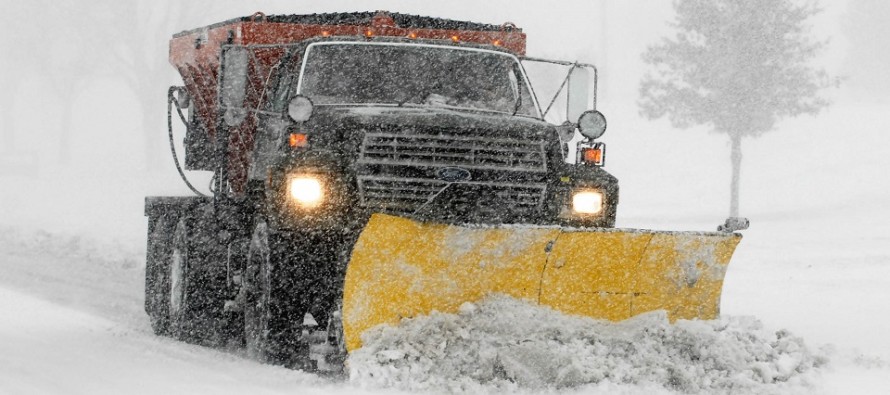
Discussion: The storm center is now to the east of New Jersey. It should slowly begin to pull away from the coast to the NE. As this happens precipitation will shut off from SW to NE. I expect far-SW areas near the Delaware Memorial Bridge to begin wrapping up in the next hour. I expect NENJ/Monmouth County to wrap up last (between 6-8pm or so). Very intense rates of snowfall are expected until precipitation shuts off (up to 2-3 inches per hour) and more thundersnow is definitely possible.
Upper-level energy was able to influence the system colder overall and that is why the intense precipitation rates are able to overcome a 38F surface (for areas of stickage). The dynamics were and are simply incredible with this system. I will likely be adding last Friday and today’s events to the slide show I present during public talks.
Expect winds to remain gusty overnight, beyond the precipitation shut off. Coastal flooding has been held to minor levels by lower astronomical tides despite the onshore wind-driven surge today. Tidal cycles should begin lowering overnight and return to near-normal in the next few days.
In English: The jackpot of the storm system has shifted out of EPA/NWNJ and more towards the NWNJ/I-95 corridor. Most areas are all snow now. Snow will end from SW to NE between now and 8pm from SWNJ to NENJ (including Monmouth County). Expect the sky to puke hard from now until then. Hope everyone is making out alright. Be safe! JC
For comprehensive and interactive hyper-local analysis that goes way above and beyond the detail of this public forecast, check out our premium services which include early hyper-local text notifications from and guaranteed individual forum interaction.
Jonathan Carr (JC) is the founder and sole operator of Weather NJ, New Jersey’s largest independent weather reporting agency. Since 2010, Jonathan has provided weather safety and forecasting services for New Jersey and immediate surrounding areas through the web, social media, and app spaces. Originally branded as Severe NJ Weather (before 2014), Weather NJ is proud to bring you accurate and responsible discussions ahead of high-stakes weather scenarios that impact the garden state. All Weather. All New Jersey.™


LOCAL FORECAST | INTERACTIVE RADAR | LATEST NJ WEATHER ALERTS | WEDDING FORECAST| PRIVACY POLICY
© Copyright 2024 Weather NJ LLC. All Rights Reserved.
Some information that can be found on our website is provided by a private weather station and is not an officially recognized station for weather reporting. Though we always strive to achieve accurate reporting for our own use, it is important that you do NOT depend on the data provided here for any purpose.
