

Mixed Weather Expected this Week (Mar 16-20)
This week looks to start mild and possibly end with wintry precipitation. Last week of winter! Shall we?
Monday should range from the low 50s (NWNJ) to maybe 60 (SENJ) for high temperatures. Winds should be light out of the west with a mixed bag of mostly sun and high-altitude friendly clouds. NWNJ could see more clouds than the rest of the state and possibly even a passing shower or two through the overnight hours. Lows should range from upper-30s to lower-40s.
Tuesday should be the most mild day of the week with highs in the 50s and 60s. Isolated showers are possible in the morning but otherwise the day should be fairly dry and gusty. Expect N/NW winds of 10-15mph with gusts to 25mph. These winds will be associated with a frontal passage so expect overnight temperatures to drop into the 20s.
Wednesday should be the coldest day of the week with highs in the 30s and 40s. Skies should be mostly clear but winds should be very gusty. Expect 10-20mph NW winds with gusts to 35mph. Overnight lows then fall back into the 20s.
Thursday should reach the upper-40s and lower-50s for high temperatures. Skies should be mostly sunny with relaxed winds from the west. Overnight lows then fall into the upper-20s and lower-30s.
Friday into Saturday continues to have a wintry look (moreso N of I-195). Rain is more likely for points S. A weak disturbance will be passing to our south. If the disturbance times precipitation during overnight hours then there is a better chance of snow vs. if it falls during daylight hours. The sun angle is getting higher every day. So if the precip happens during the day we can expect a lot of “white rain” to hit the streets and maybe slushy accumulations on grassy surfaces. It would take the March 1993 storm to drop anything major and this is no where close to that intensity. However if the precip happens during darker hours when low temperatures are near-freezing, we could be looking at light to significant accumulations with NWNJ favored over SENJ due to elevation and temperature. The bottom line is that I need to analyze more guidance and live observations before making a call for Friday-Saturday. I’ll likely post a fully-detailed analysis later today or tomorrow. Just note the possibility for now. Sunday-forward begins daily moderation to average Spring temperatures. Almost perfect calendar timing!
This Monday-Friday Outlook is proudly sponsored by weathertrends360 (www.weathertrends360.com). Through 150 years of world wide weather data analysis, weathertrends360 has developed proprietary algorithms and methods that predict weather up to a year with 84% accuracy. They are second to none in the long range so check them out for business planning, travel planning, etc.
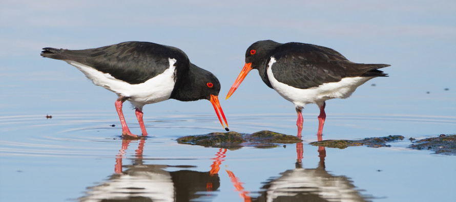
The above image shows two Oystercatchers which are commonly seen this time of year along the NJ coast. Be safe and have a great week! JC
Jonathan Carr (JC) is the founder and sole operator of Weather NJ, New Jersey’s largest independent weather reporting agency. Since 2010, Jonathan has provided weather safety and forecasting services for New Jersey and immediate surrounding areas through the web, social media, and app spaces. Originally branded as Severe NJ Weather (before 2014), Weather NJ is proud to bring you accurate and responsible discussions ahead of high-stakes weather scenarios that impact the garden state. All Weather. All New Jersey.™


LOCAL FORECAST | INTERACTIVE RADAR | LATEST NJ WEATHER ALERTS | WEDDING FORECAST| PRIVACY POLICY
© Copyright 2024 Weather NJ LLC. All Rights Reserved.
Some information that can be found on our website is provided by a private weather station and is not an officially recognized station for weather reporting. Though we always strive to achieve accurate reporting for our own use, it is important that you do NOT depend on the data provided here for any purpose.

)