

Sept 10: Dangerous East Coast Impact Likely
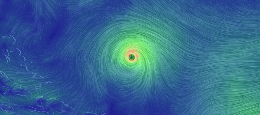
Discussion: Major Hurricane Florence is packing 140mph sustained winds with a central pressure below 940mb now. This category 4 hurricane is currently located at 25.4N 61.1W and moving W/NW at 13mph per the National Hurricane Center. Little shear and warm water lie ahead of Florence’s path with little weakening expected.
We’re likely beyond the ability for Florence to escape out to sea. Model guidance however remains split between a Thursday landfall location of Bald Head Island, NC and Cape Hatteras. Some of the guidance today (GFS and its ensmebles) took Florence just E of Cape Hatteras. It still becomes blocked by the strong E US ridge but it’s a down-right scary track for Delmarva and New Jersey (to see it come towards us and then stall). Any ridge weakness could allow the storm to get further N. I don’t think it gets far-enough N for a NJ landfall, or even Delaware landfall, but perhaps areas just N of Hatteras could become suspect with southern coastal Virginia the absolute furthest point N (low chance).
This spread in model guidance (between Wilmington and Cape Hatteras) is very unsettling. The European model is the furthest S solution with the GFS the furthest N. Neither are budging at the moment. In the next day or two one will likely snap to the other or they will meet somewhere in the middle. In light of everything I saw today I’m still 80/20 (landfall S of Cape Hatteras like the Euro/landfall N of Cape Hatteras like the GFS).
Depending on how far north Florence gets in the Friday-Saturday period will determine New Jersey’s conditions. A farther S landfall like the Euro could mean sunny skies, stiff E wind and only minor-to-moderate coastal flooding. A solution like the GFS ensembles (GEFS) could mean outer-bands of rainfall scraping SNJ, heavier onshore flow and moderate-to-major coastal flooding.
What happens after landfall is very uncertain as well. If the remnants phase into the jet stream a certain way then New Jersey could be looking at a high wind, heavy rain, major coastal flooding situation in the Sunday-Tuesday period. More time is needed to figure out the Sunday-Tuesday potential. Regardless I continue to watch the entire Thursday through Tuesday period as primary impacts to the southern Mid-Atlantic US affect secondary impacts to the northern Mid-Atlantic US.
In English: Chances are Florence will make landfall as a major hurricane on Thursday between the southern and northern coast of North Carolina. The northern side of Florence could possibly scrape New Jersey (SNJ most favored) with fringe outer-band rainfall in the Friday-Saturday period, only if Florence gets far N enough. We could also see moderate to high winds off the ocean depending on how far north Florence gets. The greatest risk for the Friday-Saturday period is coastal flooding. Sunday-Tuesday could then feature remnant Florence impact in the form of more rain, wind and coastal flooding. I’ll have a better idea on that window come Thursday. For now there is no reason to panic. A landfall to the NJ face is still a low, but not zero, chance. Thursday-Tuesday could be a rough period overall for the entire Mid-Altantic US coast however, especially eastern NC. Have a great night and please be safe! JC
Jonathan Carr (JC) is the founder and sole operator of Weather NJ, New Jersey’s largest independent weather reporting agency. Since 2010, Jonathan has provided weather safety and forecasting services for New Jersey and immediate surrounding areas through the web, social media, and app spaces. Originally branded as Severe NJ Weather (before 2014), Weather NJ is proud to bring you accurate and responsible discussions ahead of high-stakes weather scenarios that impact the garden state. All Weather. All New Jersey.™


LOCAL FORECAST | INTERACTIVE RADAR | LATEST NJ WEATHER ALERTS | WEDDING FORECAST| PRIVACY POLICY
© Copyright 2024 Weather NJ LLC. All Rights Reserved.
Some information that can be found on our website is provided by a private weather station and is not an officially recognized station for weather reporting. Though we always strive to achieve accurate reporting for our own use, it is important that you do NOT depend on the data provided here for any purpose.
