

Unsettled Week Expected (Jan 2-6)
Here’s what to expect for the first week of 2017…
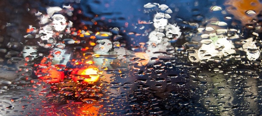
Disco: Most of NNJ should dip below freezing overnight tonight as precipitation moves in from the SW. For this reason, freezing rain is possible tomorrow morning primarily for NWNJ elevations. Most lower elevations of NJ should warm quick-enough for just rain tomorrow morning thanks to onshore flow. The entire state should then be mild and wet through Wednesday morning as a series of low pressure moves through. The primary low looks to track from the Mississippi River into the Ohio Valley Monday-Tuesday before transferring to the NJ area Tuesday night. Winds should then pick up for Tuesday night into Wednesday as low pressure consolidates and departs to our NE. Another cold air mass will then move in from the NW Wednesday night which should stick around through the weekend into next week.
The focus for the next possible snow remains in the Jan 6-8 period (this Friday-Sunday). There is still an overall storm signal at the upper levels and on global ensemble guidance. Surface solutions are flopping as expected but we should start to see some consistency in the next 24-48 hours of model guidance. I’ll be tracking and updating accordingly.
Monday (Jan 2) high temperatures could be held in the 30s for NNJ elevations but push well into the 40s for the rest of NJ. Skies should be mostly cloudy with periods of rain. Winds should be light-to-breezy out of the E/NE. Overnight lows should fall into the 30s for NNJ elevations and lower-40s for the rest of NJ.
Tuesday (Jan 3) high temperatures should reach well into the 40s for most. Parts of SNJ could break 50. Skies should be mostly cloudy with periods of rain. Winds should be light-to-breezy out of the E/NE as onshore flow persists. Overnight lows should fall into the upper-30s/lower-40s.
Wednesday (Jan 4) high temperatures should at least reach into the 40s statewide. A strong cold front will be coming through. Skies might start out cloudy with periods of scattered rainfall but should eventually give way to breaks of sun. Winds should be breezy out of the NW. Overnight lows should fall into the 20s for most with teens possible for NNJ elevations. Therefore a noticeable temperature drop after sunset and into overnight hours.
Thursday (Jan 5) high temperatures should be capped in the 30s statewide. Points N could have trouble getting above freezing. Skies should feature a mixed bag of sun and clouds. Winds should be light-to-breezy out of the NW. Overnight lows should fall into the teens for NNJ elevations and 20s for the rest of NJ.
Friday (Jan 6) and the weekend are too uncertain to call at this point given the volatility of the models surrounding the entire Jan 6-8 period of interest. Given the size and intensity of the cold air mass however, it’s reasonable to assume that highs would have trouble escaping the 30s while overnight lows fall into the teens and twenties. The jury is still out on precipitation but I’ll let you know as soon as my confidence increases either way. Everyone have a great week and please be safe! JC
Find out why thousands have signed up for our My Pocket Meteorologist program.
Jonathan Carr (JC) is the founder and sole operator of Weather NJ, New Jersey’s largest independent weather reporting agency. Since 2010, Jonathan has provided weather safety and forecasting services for New Jersey and immediate surrounding areas through the web, social media, and app spaces. Originally branded as Severe NJ Weather (before 2014), Weather NJ is proud to bring you accurate and responsible discussions ahead of high-stakes weather scenarios that impact the garden state. All Weather. All New Jersey.™


LOCAL FORECAST | INTERACTIVE RADAR | LATEST NJ WEATHER ALERTS | WEDDING FORECAST| PRIVACY POLICY
© Copyright 2024 Weather NJ LLC. All Rights Reserved.
Some information that can be found on our website is provided by a private weather station and is not an officially recognized station for weather reporting. Though we always strive to achieve accurate reporting for our own use, it is important that you do NOT depend on the data provided here for any purpose.

)