

Unsettled Weekend Expected (July 17-19)
Friday looks like another dry and sunny day but Saturday through at least Tuesday should feature warmer temperatures, elevated humidity, scattered showers and thunderstorms. Let’s break it down:
Friday high temperatures should reach the upper-70s/lower-80s statewide. Expect a mixed bag of mostly sunny skies and a few friendly clouds. Winds should be light out of the S/SE. Overnight lows should fall into the 60s for most of New Jersey (lower-70s along the coast).
Saturday high temperatures should reach the mid-to-upper 80s statewide. Let’s allow a small chance for interior, especially SWNJ, to break 90. Scattered rain showers and thunderstorms are possible, especially during afternoon-evening hours. There should still be plenty of sun at times with noticeably elevated humidity. Precipitation chances will be hit or miss. Winds should be generally light out of the SW with a light SE sea breeze possible along the coast. Overnight lows should only fall into the 70s for most (maybe upper-60s in NWNJ) as conditions remain unsettled and possibly stormy through sunrise on Sunday.
Sunday high temperatures should break 90 for many. Low-to-mid 90s are possible for interior parts of NJ. The coast should at least get to 85. Scattered rain showers and thunderstorms are once again possible, especially during afternoon-evening hours. Again, still periods of sun with elevated humidity and hit-or-miss storm chances. Winds should be light out of the SW. Overnight lows might not even get below 70 in NWNJ. A steamy mid-summer night with rumbles through Monday morning.
An early look at next week indicates a hazy, hot and humid start with more unsettled conditions. Conditions should shape up by mid-week but the heat looks to last.
This weekend outlook is proudly sponsored by weathertrends360 (www.weathertrends360.com). Through 150 years of world wide weather data analysis, weathertrends360 has developed proprietary algorithms and methods that predict weather up to a year with 84% accuracy. They are second to none in the long range so check them out for business planning, travel planning, etc. Also check out their free txt and email alerts!
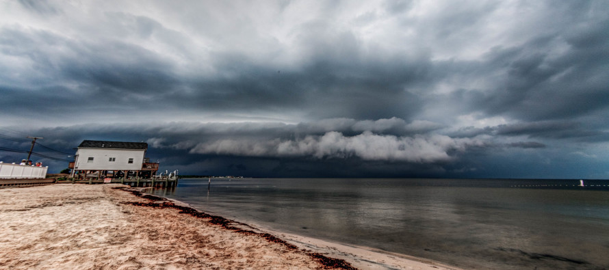
I took the above photograph a few weeks ago over the Barnegat Bay. Be safe and have a great weekend! JC
Jonathan Carr (JC) is the founder and sole operator of Weather NJ, New Jersey’s largest independent weather reporting agency. Since 2010, Jonathan has provided weather safety and forecasting services for New Jersey and immediate surrounding areas through the web, social media, and app spaces. Originally branded as Severe NJ Weather (before 2014), Weather NJ is proud to bring you accurate and responsible discussions ahead of high-stakes weather scenarios that impact the garden state. All Weather. All New Jersey.™


LOCAL FORECAST | INTERACTIVE RADAR | LATEST NJ WEATHER ALERTS | WEDDING FORECAST| PRIVACY POLICY
© Copyright 2024 Weather NJ LLC. All Rights Reserved.
Some information that can be found on our website is provided by a private weather station and is not an officially recognized station for weather reporting. Though we always strive to achieve accurate reporting for our own use, it is important that you do NOT depend on the data provided here for any purpose.

)