
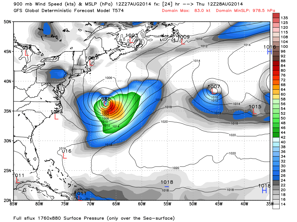
Hurricane Cristobal will continue to parallel the east coast through Friday morning. Even though he’s a miss out to sea, surf along the entire Jersey Shore is still expected to intensify. It might be late Friday before marine conditions finally subside. Here is the expected position of Hurricane Cristobal tomorrow morning at 8AM (when peak surf is expected) per the American GFS model. The colors indicate wind speed in knots:
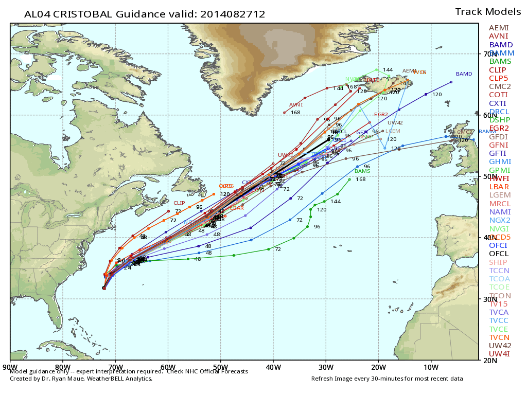
I think tonight through early afternoon tomorrow should feature the biggest swells from Cape May to Sandy Hook. 6-8ft (head-level to overhead-level) waves are possible along the beach. Rip currents will be dangerous for inexperienced swimmers. Please know your limits, respect your local authorities and listen to the lifeguards! The good news is that Hurricane Cristobal will be steaming away to the northeast before the start of Labor Day Weekend. Here is the expected track per the latest model guidance:
I’ll have the full Labor Day Weekend Outlook posted tomorrow evening. In the meantime, please be safe! JC
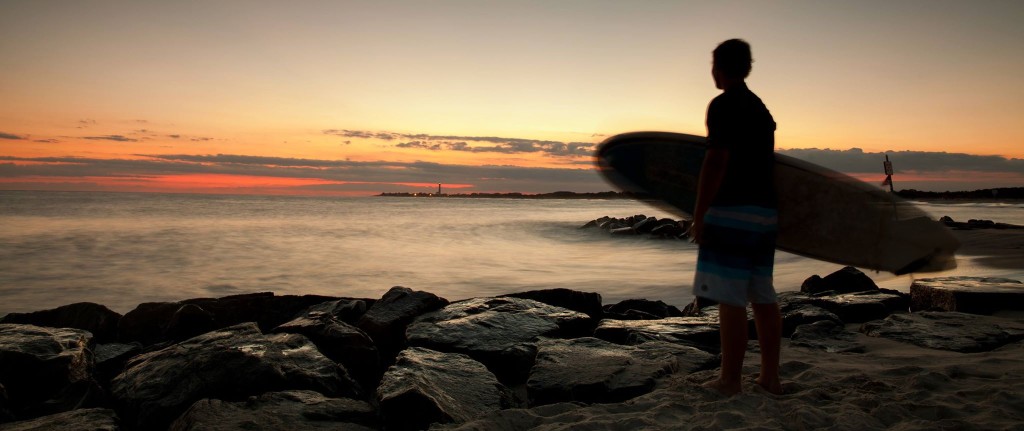
Cover image by Chris Bakely of Chris Bakely Photography


Jonathan Carr (JC) is the founder and sole operator of Weather NJ, New Jersey’s largest independent weather reporting agency. Since 2010, Jonathan has provided weather safety and forecasting services for New Jersey and immediate surrounding areas through the web, social media, and app spaces. Originally branded as Severe NJ Weather (before 2014), Weather NJ is proud to bring you accurate and responsible discussions ahead of high-stakes weather scenarios that impact the garden state. All Weather. All New Jersey.™