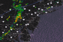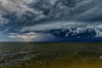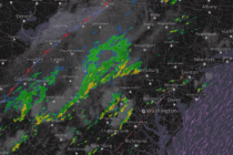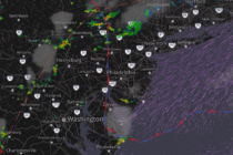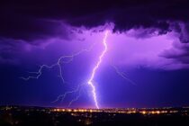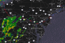
Another Stormy Humid Night
Discussion: I’m thinking “Relentless Stormy Humidity” was a good title for this week’s weekly outlook. Last night’s (Tuesday night) storms produced most violently in WCNJ/SWNJ before fizzling a bit for the coast. NNJ saw less intense action. A few tornado