
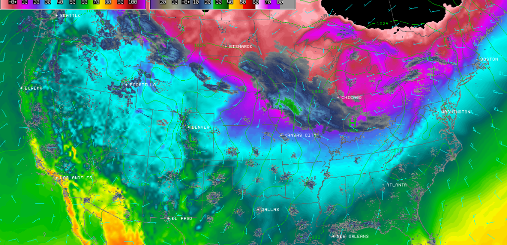
A clipper system is riding the Arctic front heading straight for the mid-Atlantic US. This means light powdery accumulating snowfall tomorrow starting as early as sunrise in WNJ and as late as 9AM in ENJ. Clippers are generally fast movers so we might see the sun come out tomorrow afternoon before it sets. Should that happen, heads-up sunset photographers! True Arctic air then invades for bitter cold temperatures the rest of this week.
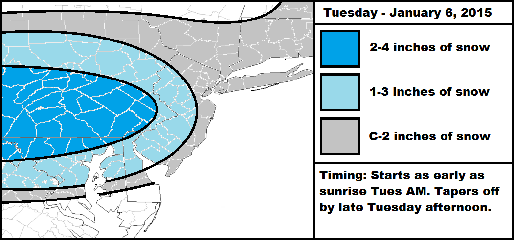
My rationale behind the snow map is mostly based on the Appalachian Mountains taking a toll on the precipitation shield as it progresses towards the coast. With that being said, accumulation amounts should fade from west to east. The heaviest precipitation is favored on short range guidance to stay along and just north of the Mason-Dixon line. Areas north of that will have higher snow to liquid ratios due to colder temperatures. When all is said and done, a widespread coating to a few inches are possible for any part of New Jersey. Be safe! JC


Jonathan Carr (JC) is the founder and sole operator of Weather NJ, New Jersey’s largest independent weather reporting agency. Since 2010, Jonathan has provided weather safety and forecasting services for New Jersey and immediate surrounding areas through the web, social media, and app spaces. Originally branded as Severe NJ Weather (before 2014), Weather NJ is proud to bring you accurate and responsible discussions ahead of high-stakes weather scenarios that impact the garden state. All Weather. All New Jersey.™