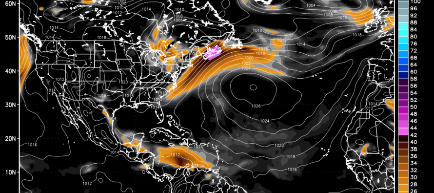
Often, you’ll hear me mention arctic air, maritime air, tropical air, stationary boundaries, warm fronts, cold fronts, etc. Having a better understanding of these concepts can greatly enhance your general understanding of weather.
An air mass is simply a giant pool of air having similar qualities and characteristics. These air masses tend to originate in common latitudes but can differ in moisture content based on their origin. Land air masses (continental) are dry and ocean air masses (maritime) are moist. With that being said, let’s break each common type of air mass down:
— cA (Continental Arctic): This air mass is the driest and coldest of all air masses. They are the northernmost air masses over land. You’ll find this over northern Canada, north of ~80N.
— cP (Continental Polar): While not as cold as Continental Arctic air masses, these land-based masses are generally cool bodies of air over central and southern Canada. They generally originate between 60N and 80N.
— mP (Maritime Polar): Like Continental Polar air masses, Maritime Polar air masses are cool (same latitudes) but much wetter since they originate over the ocean (Pacific or Atlantic).
— cT (Continental Tropical): This is the hottest land mass that affects the continental US and only in the summer time. These air masses tend to originate in northern Mexico and the SW United States featuring dry desert conditions.
— mT (Maritime Tropical): These air masses feature warm temperatures and relentless humidity. They provide a strengthening environment for tropical cyclones when parked over the Bermuda Triangle.
For the most part, tropical air masses originate between the equator and ~25N while polar air masses originate north of 60N. The area between represents most of the continental US and is also referred to as the temperate zone. This zone can be affected by all air masses during different times of the year, hence our four seasons. Arctic air masses normally originate and reside north of 75N but can drop into the northern US from time to time. We saw this during this past winter.
A boundary is simply a border or division line between two air masses. Boundaries can be either stationary or in motion. You’ve seen stationary boundaries drape over New Jersey causing drastic differences in daytime high temperature between NNJ and SNJ. Rain and thunderstorms like to form along boundaries so flooding is often common where boundaries are stationary. On weather maps, stationary boundaries are marked with alternating blue and red arrows.
A boundary in motion is also known as a frontal boundary. You commonly hear them referred to as fronts. A warm front is when a warmer air mass (cT or mT) moves over a colder air mass (cP or mP).
These are marked with a red line and tiny arrows indicating direction of frontal movement. A cold front is the exact opposite and is probably what most of you are familiar with. Cold fronts are indicated by blue lines with tiny directional arrows as well.
Since heat rises and cold sinks, cold fronts wedge themselves underneath warm air when passing through. Warm fronts do the opposite when pushing through cold air. They overtake instead of wedge beneath. Thunderstorms can form along warm fronts but are much more common along cold fronts due to the natural lifting/wedging mechanism.
So what makes these boundaries move as frontal passages? Simple! Land heats and cools at different rates than the ocean does. The atmosphere is constantly trying to equalize these differences and therefore forms pressure variations. Low pressure systems spin counter-clockwise and high pressure systems clockwise. The flow generated from these pressure formations push boundaries around the planet and that’s weather in a nutshell. Be safe! JC
Jonathan Carr (JC) is the founder and sole operator of Weather NJ, New Jersey’s largest independent weather reporting agency. Since 2010, Jonathan has provided weather safety discussion and forecasting services for New Jersey and surrounding areas through the web and social media. Originally branded as Severe NJ Weather (before 2014), Weather NJ is proud to bring you accurate and responsible forecast discussion ahead of high-stakes weather scenarios that impact this great garden state of ours. All Weather. All New Jersey.™ Be safe! JC

LOCAL FORECAST | INTERACTIVE RADAR | LATEST NJ WEATHER ALERTS | WEDDING FORECAST| PRIVACY POLICY
© Copyright 2025 Weather NJ LLC. All Rights Reserved.
Some information that can be found on our website is provided by a private weather station and is not an officially recognized station for weather reporting. Though we always strive to achieve accurate reporting for our own use, it is important that you do NOT depend on the data provided here for any purpose.


