Unsettled Week Expected (Feb 22-26)

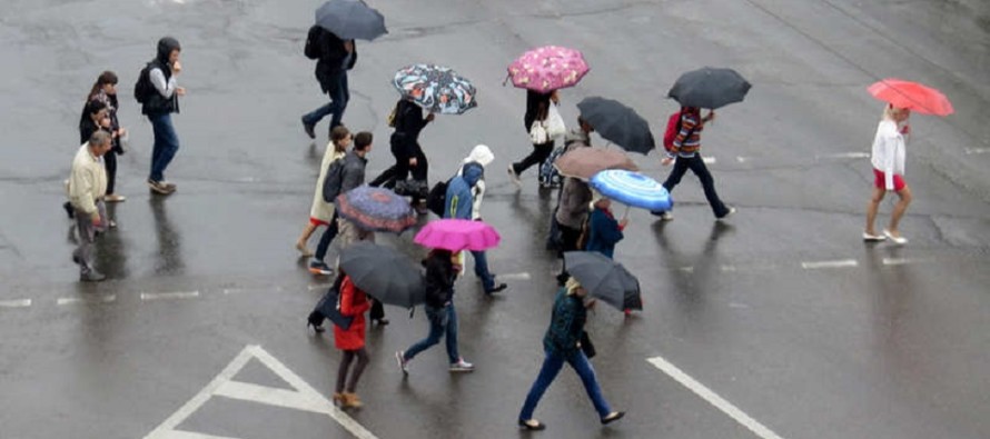
Most of the week looks unsettled with wintry precipitation possible tomorrow in NNJ and rainfall possible statewide through Thursday. We should then dry out for an okay weekend. Let’s break it down.
Monday (Feb 22) high temperatures should reach the upper-40s to lower-50s statewide. Skies should be mostly sunny. Winds should be light out of the N. Overnight lows should fall into the 20s for NNJ elevations and 30s for the rest of the state.
Tuesday (Feb 23) high temperatures should reach the upper-30s for NNJ elevations and mid-40s for the rest of the state. Rainfall is expected which could start out as a mix of snow and/or sleet for NNJ Tuesday late-morning/afternoon. Accumulations will be fighting peak sun angle and a marginal surface temperature profile so I wouldn’t expect much, especially on paved surfaces. A few slushy inches are possible I suppose. The lower 2/3 of NJ should likely see all rain. Winds should be light for most out of the E/NE (a little breezier along the coast). Overnight lows should fall into the 30s statewide.
Wednesday (Feb 24) high temperatures should reach the mid-40s for NNJ elevations and mid-50s for the rest of the state. More rainfall is expected with increased winds out of the E/SE, especially along the coast. Overnight lows should fall into the 40s for most of NJ with maybe the SNJ coast remaining just above 50.
Thursday (Feb 25) high temperatures should reach the low-to-mid 50s statewide. AM rainfall is expected with maybe some clearing just before sunset. Winds should be breezy out of the SW. Overnight lows should fall into the 30s for most with maybe the NNJ elevations dipping into the 20s.
Friday (Feb 26) high temperatures should reach the mid-30s for NNJ elevations and low-to-mid 40s for the rest of the state. Skies should feature a mixed bag of sun and clouds. Winds should be breezy-to-gusty out of the W. Overnight lows should fall into the 20s for most with maybe the NNJ elevations dipping into the teens.
An early look at the weekend indicates dry conditions with possibly mild temperatures at the shore while interior and NNJ elevations hold onto cooler air. There are no major storm systems on the horizon through the end of February. I do however see a few transient cold shots possibly moving through in early March so we’ll have to keep an eye out for any front or back-side energy associated with the troughs that move through.
Again, sun angle and hours of daylight will be working against snow accumulations for anything that forms. You would need a really big and powerful storm system tracking well offshore with most precipitation falling overnight to see accumulating snow in March. It has happened before but is super rare. IMO, it’s getting nice to see brighter mornings, hear birds chirping in the morning and feel the early onset of spring.
This Monday-Friday outlook is proudly sponsored by weathertrends360 (www.weathertrends360.com). Through 150 years of world wide weather data analysis, weathertrends360 has developed proprietary algorithms and methods that predict weather trends up to a year with 84% accuracy. They are second to none in the long range so check them out for business planning, travel planning, etc. Also check out their free txt and email alerts!
Have a great week and be safe! JC
Jonathan Carr (JC) is the founder and sole operator of Weather NJ, New Jersey’s largest independent weather reporting agency. Since 2010, Jonathan has provided weather safety and forecasting services for New Jersey and immediate surrounding areas through the web, social media, and app spaces. Originally branded as Severe NJ Weather (before 2014), Weather NJ is proud to bring you accurate and responsible discussions ahead of high-stakes weather scenarios that impact the garden state. All Weather. All New Jersey.™


