

Wet Week Expected (May 22-26)
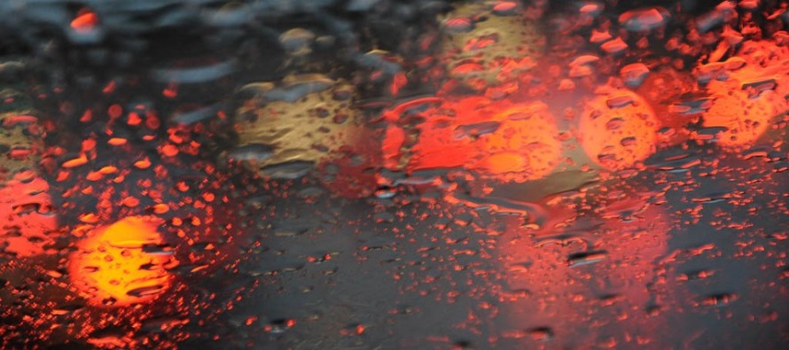
The entire week won’t look like the photo. But a lot of it should. Let’s break it down…
Discussion: Sunday ended up being the better day of the weekend thanks to the mesoscale convective system that formed in Ohio/W PA late Friday night. These MCS systems are wildcards that occasionally happen and spoil forecasts. Remember the June 2012 Derecho? Sometimes you catch it. Sometimes you don’t. In this case however it was simply remnants of the MCS that drifted through NNJ/CNJ Saturday morning/early-afternoon, nothing dangerous like the aforementioned link. This upcoming week looks to feature more lower 500mb heights which should keep conditions very unsettled, especially with a few low pressure disturbances floating through. The rainiest periods of the week currently look like Monday, Tuesday PM into Wednesday and Friday. We might catch for parts of Tuesday and Thursday. Given the uncertain and unsettled conditions, I’m sure this week will make fools of many forecasts as far as specific rain timing. Just know that anything from a half-inch to an inch and a half should fall in total, possibly a bit more for SNJ. This week should also be warmer than this past weekend but not as warm as last week. The weekend then looks less unsettled and much better than the week does. I can’t imagine the entire weekend being dry but as of right now, most of it looks that way. We’ll have to go into more confident details Thursday night for the holiday weekend outlook.
Monday (May 22) high temperatures should reach into the 60s statewide. Skies should be mostly cloudy with rain possible. Rain could be moderate-to-heavy at times. Winds should be light out of the SE. Overnight lows should fall into the 50s.
Tuesday (May 23) high temperatures should reach the upper-60s/lower-70s. Skies should be mixed with sun, clouds and a few possible remnant isolated showers early on. More rain could then move in for evening/overnight hours. Winds should be light out of the E. Overnight lows should fall into the 50s.
Wednesday (May 24) high temperatures should reach into the upper-60s/lower-70s for most. Skies should start rainy and eventually clear. Winds should be light out of the NE. Overnight lows should again hang in the 50s statewide.
Thursday (May 25) high temperatures should reach into the upper-60s/lower-70s for most. Skies should stay mixed and unsettled with more rain possible. Winds should be light out of the NE. Overnight lows should again hang in the 50s statewide.
Friday (May 26) high temperatures should reach into the 70s statewide. Skies should remain mixed and unsettled with isolated/scattered showers and thunderstorms possible. Winds should be light out of the W/NW. Overnight lows should fall into the 50s statewide.
An early look at Memorial Day Weekend indicates less unsettled conditions with warmer temperatures (at least into the 70s). No major rain systems are currently modeled but isolated pop-up showers/t-storms are always possible this time of year. We might see a front come through with a thin period of rain towards the latter half of the holiday weekend. Let’s take a much deeper dive into that in a few days. Everyone have a great week and please be safe! JC
Jonathan Carr (JC) is the founder and sole operator of Weather NJ, New Jersey’s largest independent weather reporting agency. Since 2010, Jonathan has provided weather safety and forecasting services for New Jersey and immediate surrounding areas through the web, social media, and app spaces. Originally branded as Severe NJ Weather (before 2014), Weather NJ is proud to bring you accurate and responsible discussions ahead of high-stakes weather scenarios that impact the garden state. All Weather. All New Jersey.™


LOCAL FORECAST | INTERACTIVE RADAR | LATEST NJ WEATHER ALERTS | WEDDING FORECAST| PRIVACY POLICY
© Copyright 2024 Weather NJ LLC. All Rights Reserved.
Some information that can be found on our website is provided by a private weather station and is not an officially recognized station for weather reporting. Though we always strive to achieve accurate reporting for our own use, it is important that you do NOT depend on the data provided here for any purpose.

)