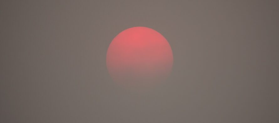
Fire Haze Breaks Down

Discussion: The Canadian wildfires were caused by a convective linear stormfront (by lightning) that pushed through a very dry area of SE Canada. The stubborn blocking pattern in Canada is what has caused the cooler temps for our region over the past few weeks. Since this pattern produces N flow out of Canada, it brought the smoke right down to us in NJ and most of the Northeast and Mid-Atlantic US. That was Wednesday when it appeared the most apocalyptic outside. Since then, the winds have evolved favorably and that trend will continue through the weekend, especially once winds become SW by Saturday afternoon/evening. Today (Friday) is much better and tomorrow (Saturday) should be barely noticeable if at all. New Jersey remains in a pattern of lower geopotential heights, however, as upper-low after upper-low reloads for the E US into and through the approaching solstice. Temperatures will continue to evolve with general climatology…meaning a cooler than average day is no longer cool, it’s beautiful and now even warm. For the beachgoers who want the above-average 95+ stuff with sweltering humidity, that can keeps getting kicked down the road and might not happen until just after the solstice. But at least 80+ will commonly happen starting tomorrow (Saturday) and humidity will stay on the lower side. We need rain. Our reservoir levels are not as bad as surrounding areas like PA, but we need rain to prevent becoming that way soon. All we have are some spotty shower/t-storms later today/tonight, some frontal rain Monday, upper-level disturbance rain Wednesday, and isolated spring showers throughout next week. All of that might add up to a half-inch so not too significant IMO. It will still impact outdoor activities but not the water levels. So tonight’s (Friday) activity looks very isolated and spotty. A thunderstorm can still occur and given the colder upper-levels from the lower heights, hail is in play. But again, very hit-or-miss with most missed. Saturday and Sunday look dry and warm (amazing for outdoor stuff but bad for fire risk). Monday morning might be the warmspike of the warm sector just before the front pushes through. This is why Sunday night should stay above 60 statewide. Hoping Monday produces more rain than less. Otherwise the trend continues next week and the hot and humid stuff starts the week after.
Friday (June 9) high temperatures, as of today Friday ~2pm, are maxing in the low-to-mid 70s for most of NJ. Skies should remain mixed with sun and clouds. Some fire smoke haze still around but not nearly as bad as Wed-Thurs was. Isolated-to-scattered late-afternoon/evening showers and thunderstorms are possible – very spotty and hit-or-miss. Winds should be light out of the W/NW in general but obviously breezy/gusty under or near a thunderstorm. Also, hail is in play. Overnight lows should range from mid-40s to near-60 from NNJ elevations to SNJ coasts as skies clear.
Saturday (June 10) high temperatures should reach the upper-70s/lower-80s for most of the state. Skies should be mixed with more sun that clouds. Can’t rule out an extremely isolated pop-up shower or thunderstorm. Winds should be light out of the W/NW to start. Haze should be mostly gone especially as winds transition to SW by evening. Overnight lows should stay above 50 statewide and possibly above 60 along the coast…a telltale for an even warmer Sunday.
Sunday (June 11) high temperatures should reach or break 90 for many away from the ocean. Coastal areas might even get up over 80 but no less than mid-to-upper 70s. Expect some elevated humidity with this but nothing too bad. Skies should be mixed with sun and clouds. Winds should be light out of the S/SW. Overnight lows should stay above 60 statewide as clouds increase.
An early look at next week indicates some rain on Monday. It doesn’t look like a drought buster event, but we’ll take whatever we can get at this point. Next week looks average in temperature (upper-70s/lower-80s) with some garden variety isolated spring showers possible on any day. An upper-level disturbance might rain a little more than isolate showers Wednesday-ish. That should do it for the anomalous below average temperature swings as we continue building traditional heat and humidity through the summer solstice (the week after). Have a great weekend and please be safe! JC
Premium Services
KABOOM Club offers inside info forecast discussion, your questions answered, and early storm impact maps (ahead of the public). At a buck per month, it’s an extremely feasible way to show support.
My Pocket Meteorologist (MPM), in partnership with EPAWA Weather Consulting, offers professional/commercial interests, whose businesses depend on outdoor weather conditions (snow plowing, landscaping, construction, etc.), with hyper-local text message alerts/forecasts and access to the MPM premium forum—the most comprehensive and technical forecast discussion available for PA and NJ.
Jonathan Carr (JC) is the founder and sole operator of Weather NJ, New Jersey’s largest independent weather reporting agency. Since 2010, Jonathan has provided weather safety discussion and forecasting services for New Jersey and surrounding areas through the web and social media. Originally branded as Severe NJ Weather (before 2014), Weather NJ is proud to bring you accurate and responsible forecast discussion ahead of high-stakes weather scenarios that impact this great garden state of ours. All Weather. All New Jersey.™ Be safe! JC


