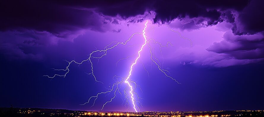
Strong Thunderstorms Possible

Discussion: We’re now in a warm sector. The warm front is through and winds are changing to more of a SW direction with increasing temperatures and humidity. A round or two of showers and thunderstorms are possible today (Wednesday) and during the day tomorrow (Thursday)…anything from isolated cells to a scattered cluster.
The main event, however, is expected during Thursday PM-Friday AM hours. Thursday daytime temperatures and humidity will peak in the afternoon—destabilizing the atmosphere via diurnal instability. Breaking this down more…the lower levels will be very warm, and heat likes to rise. Therefore, it’s very easy for atmospheric parcels of air (containing moisture) to rise. Think of how hot liquid in a blender behaves verses a calmer colder liquid in a blender. The warmer the air is, the easier for particles to move. So when the cold front and increasing shear values come along Thursday PM, any lifting mechanisms (from the cold front itself or from the rising part of sheer roll) will easily lift the warm and moist surface air up into the colder atmosphere aloft triggering the condensation and latent heat release needed for thunderstorms. That’s why Thursday PM into early Friday morning is the period of interest for the strongest thunderstorms in New Jersey.
The main event stormfront, on short-range model guidance, is favoring CNJ/SNJ with less action showing for NNJ. All of NJ is on the hook for showers and thunderstorms but CNJ/SNJ will heat up the most during Thursday and therefore have the best dynamics for producing storms. NNJ might just see some passing showers with a few rumbles. CNJ and especially SNJ should see the highest wind gusts, heaviest downpours, most frequent lightning, and best chance for an isolated tornado. These storm dynamics should knock on WNJ’s door around 5-7pm Thursday, push across NJ from W to E between 6-8pm, and clear the ENJ coast around 7-10pm with lighter remnant activity lingering into early Friday AM hours.
Friday looks great in the wake of the storms. Lower humidity and lower temperatures should produce a noticeably more comfortable feel for Friday into Saturday. Humidity should build back Saturday into Sunday (still looking like little-to-no rain) with a very hot and humid week expected next week. I will cover the weekend and next week in greater detail in the weekend outlook.
In English: Expect isolated-to-scattered thunderstorms between now (Wednesday) and Thursday afternoon as temperatures and humidity flex. A cold front should then push a linear stormfront through NJ between Thursday evening and early Friday morning. SNJ is favored for the strongest storms Thursday night with CNJ second and NNJ the least-favored. All on the hook for at least showers and rumbles but SNJ has the best chance for damaging wind gusts, frequent lightning, heavy downpours, and possibly an isolated tornado. Timing looks like 5-7pm for WNJ to 7-10pm for ENJ (all moving W to E). The cold front then passes through by sunrise Friday for a great feeling Friday-Saturday (lower humidity and temperatures). Weekend looking rain-free as of now but let’s give it another day to confirm. Temperatures and humidity are then expected to build again into a very hot and humid next week. Have a great rest of your Wednesday and please be safe! JC
Premium Services
KABOOM Club offers ad-free content, inside info forecast discussion, your questions answered, and early storm impact maps and video releases (ahead of the public). At $1.99 per month, it’s an extremely feasible way to show additional support for Weather NJ and you can can turn it on and off for however many months you wish. Think of it as a tip jar with perks. The public eventually sees all info discussed in premium areas. Available onFacebook or Patreon.
My Pocket Meteorologist (MPM), in partnership with EPAWA Weather Consulting, offers professional/commercial interests, whose businesses depend on outdoor weather conditions (snow plowing, landscaping, construction, etc.), with hyper-local text message alerts/forecasts and access to the MPM premium forum—the most comprehensive and technical forecast discussion available for PA and NJ.
Jonathan Carr (JC) is the founder and sole operator of Weather NJ, New Jersey’s largest independent weather reporting agency. Since 2010, Jonathan has provided weather safety discussion and forecasting services for New Jersey and surrounding areas through the web and social media. Originally branded as Severe NJ Weather (before 2014), Weather NJ is proud to bring you accurate and responsible forecast discussion ahead of high-stakes weather scenarios that impact this great garden state of ours. All Weather. All New Jersey.™ Be safe! JC


