

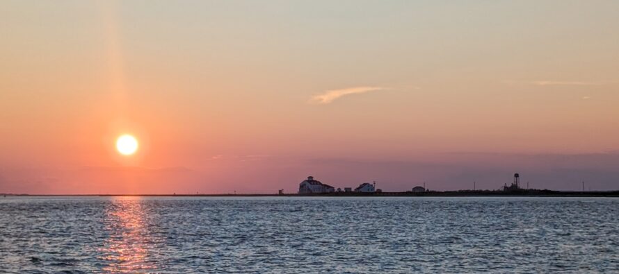
Another Nice Weekend. Tropics Waking Up!
Discussion: The upper levels remain unremarkable with little deduction possible. A lot of weak zonal flow with nothing anomalous in either direction regarding geopotential height anomalies. We look rather dry through this weekend and likely through Tuesday as heat and humidity gradually build through Sunday. Another nice weekend! Monday-Wednesday looks like the hottest days of next week but not like the other week. Highs in the lower-90s with dews near-70…not highs in the upper-90s with dews in the upper-70s. Still dangerous regarding heat exhaustion and heat stroke so drink plenty of water and stay as cool as your situation allows. The next rain is expected in the form of a frontal passage in the Wednesday-ish time. Then it looks like another great weekend next weekend.
I am continuing to monitor the week of August 18-22 for potential tropical impact. Models are converging on “something happening” but still a spray of solutions…anywhere from something that enters the Gulf to something that grazes the east coast. So, I do believe there will be a tropical system. I just don’t have a handle on its impact zone yet. There is lots of time to monitor.
Forecast
Friday (Aug 8) high temperatures should max a few degrees on either side of 80 for most NJ locations. Skies should eventually clear to mostly sunny. Winds should be light-to-breezy out of the E/NE, breezier along the coast which could produce rougher surf and enhanced rip currents. Overnight lows should fall to the 50-60 range NNJ to SNJ.
Saturday (Aug 9) high temperatures should reach the mid-80s for most NJ locations, closer to 80 along the coast. Skies should be mostly sunny with increasing humidity. Winds should be light-to-breezy out of the E/NE for most of NJ, but breezier out of the NE along the coast. For overnight lows, we’re looking 55-65 NNJ to SNJ as skies remain clear.
Sunday (Aug 10) high temperatures should reach the mid-to-upper 80s for most NJ locations. Breaking 90 is not off the table for interior CNJ/SNJ. Skies should be mixed with sun and clouds. Winds should be light out of the W/SW. Overnight lows should fall to the 60-65 range statewide as heat and humidity continue to build.
An early look at next week (Aug 11-15) indicates another heat wave Monday-Wednesday. Monday and Tuesday look hot and humid. Wednesday and Thursday look the most unsettled (rain and storms possible). Friday into the weekend then looks pretty good. Let’s see how it looks in a few days. Have a great weekend and please be safe! JC
Premium Services
KABOOM Club offers ad-free content, inside info forecast discussion, your questions answered, and early storm impact maps and video releases (ahead of the public). At two bucks per month, it’s an extremely feasible way to show additional support for Weather NJ. Think of it as a tip jar with perks. Available onFacebook or Patreon.
My Pocket Meteorologist (MPM), in partnership with EPAWA Weather Consulting, offers professional/commercial interests, whose businesses depend on outdoor weather conditions (snow plowing, landscaping, construction, etc.), with hyper-local text message alerts/forecasts and access to the MPM premium forum—the most comprehensive and technical forecast discussion available for PA and NJ.
Jonathan Carr (JC) is the founder and sole operator of Weather NJ, New Jersey’s largest independent weather reporting agency. Since 2010, Jonathan has provided weather safety discussion and forecasting services for New Jersey and surrounding areas through the web and social media. Originally branded as Severe NJ Weather (before 2014), Weather NJ is proud to bring you accurate and responsible forecast discussion ahead of high-stakes weather scenarios that impact this great garden state of ours. All Weather. All New Jersey.™ Be safe! JC


LOCAL FORECAST | INTERACTIVE RADAR | LATEST NJ WEATHER ALERTS | WEDDING FORECAST| PRIVACY POLICY
© Copyright 2026 Weather NJ LLC. All Rights Reserved.
Some information that can be found on our website is provided by a private weather station and is not an officially recognized station for weather reporting. Though we always strive to achieve accurate reporting for our own use, it is important that you do NOT depend on the data provided here for any purpose.
