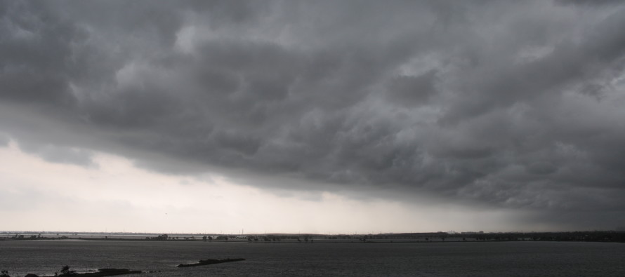
April 10: Rain and Thunderstorms Approaching!

Rain and thunderstorms are well into Pennsylvania and currently approaching the State College region. They should begin impacting NWNJ by early afternoon and the rest of NJ by late afternoon/early evening from west to east. As of right now nothing is screaming severe criteria. A 1-3 hour period of heavy downpours, gusty winds, and at least occasional lightning, however, should still be expected when the line of precipitation moves through. Should isolated instances of severe criteria be met, they will have to be now-casted.
The synoptic pattern over the next 12-18 hours is mostly under the control of a fairly-strong low pressure system just north of the Great Lakes. The warm front ahead of it will be passing through NJ from SW to NE between now and early afternoon. This will raise temperatures from where they’re currently at to about/at least 60 for most of the region, especially for areas of prolonged sun exposure. The cold front attached to the southern side of the low will then move through between afternoon and evening hours—clearing everything out by midnight at the latest.
In English: Expect temperatures to gradually warm today until rain and possibly thunderstorms move through between afternoon and evening hours. That means a 1-3 hour period of rain, wind, and lightning with the following estimated timing: NWNJ (2-5PM) SENJ (4-7PM)…best I can do right now give or take an hour. Again, the severe threat (wind gusts greater than 58mph and/or hail 1 inch in diameter or larger) is diminished but not completely off the table.
Check out our friends at Mid-Atlantic Waterproofing—serving all of New Jersey and the general Mid-Atlantic US with waterproofing, foundation repair and basement dry-out services. With a rainy spring anticipated, it’s probably not a bad idea to schedule a FREE foundation inspection. Be safe! JC
Jonathan Carr (JC) is the founder and sole operator of Weather NJ, New Jersey’s largest independent weather reporting agency. Since 2010, Jonathan has provided weather safety discussion and forecasting services for New Jersey and surrounding areas through the web and social media. Originally branded as Severe NJ Weather (before 2014), Weather NJ is proud to bring you accurate and responsible forecast discussion ahead of high-stakes weather scenarios that impact this great garden state of ours. All Weather. All New Jersey.™ Be safe! JC


