

Aug 4: Afternoon Thunderstorms Possible for SNJ
The thunderstorm threat today will primarily be for SNJ during afternoon-early evening hours. A frontal boundary will be moving through the region today and somewhat stall over the Baltimore<->Atlantic City axis from W to E. As energy moves along this frontal boundary, it should provide enough lifting for heavy rain showers and possibly severe thunderstorms. Severe parameters are rather impressive for SNJ today (4K SBCAPE, 2K MLCAPE, -6.5 LI, and 40-50kts of sfc-500mb blk wind shear just to name a few). With a solid trigger (frontal boundary) moving through, parts of SNJ should see some decent thunderstorm action.
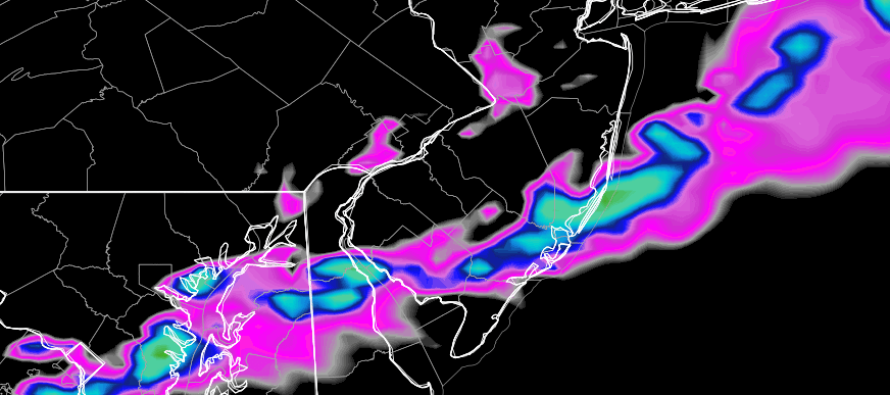
The National Weather Service Storm Prediction Center has issued the following convective outlook (SLGT representing the greater stated risk area for severe weather):

Short-range model guidance is indicating a line of heavy rain and thunderstorms moving through between early afternoon and late evening. Here’s the latest high-res NAM showing estimated precipitation intensity between 4-5pm (storm line starts along I-95 around 2PM and clears SENJ by 9PM):
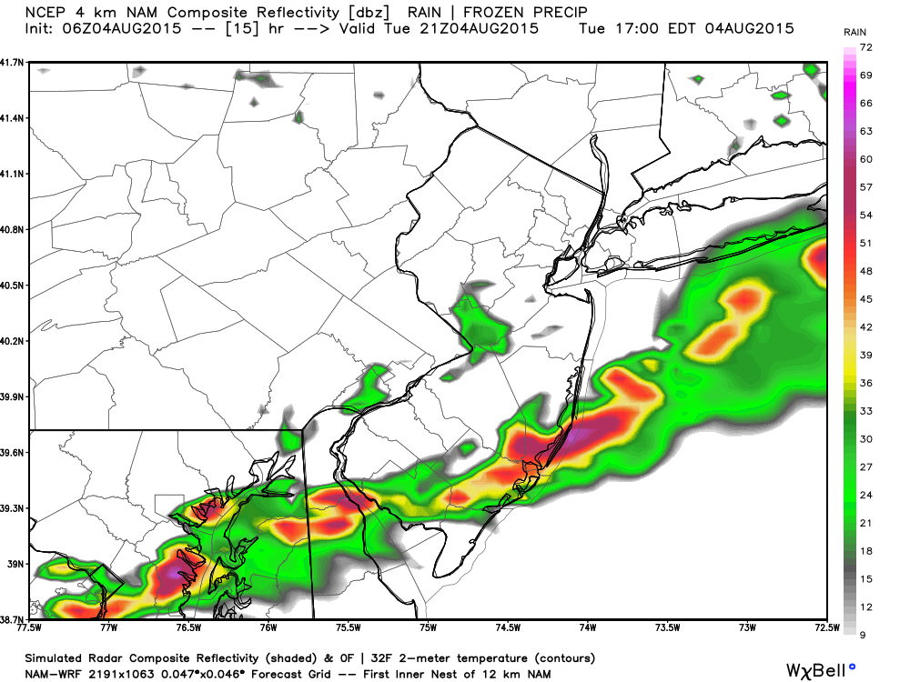
In English: Expect rain and thunderstorms, some severe, to move through SNJ today. NNJ and most of CNJ are expected to see little to no storm action today. It wouldn’t be impossible for storms to sneak into southern parts of CNJ however. They should start along I-95 (Baltimore-Philly) in the early afternoon and push SE towards the coast (Cape May-Atlantic City) by early-evening. Expect heavy downpours, frequent lightning, and possibly damaging winds. Be safe! JC
Model images used with permission from WeatherBell Analytics.
Jonathan Carr (JC) is the founder and sole operator of Weather NJ, New Jersey’s largest independent weather reporting agency. Since 2010, Jonathan has provided weather safety discussion and forecasting services for New Jersey and surrounding areas through the web and social media. Originally branded as Severe NJ Weather (before 2014), Weather NJ is proud to bring you accurate and responsible forecast discussion ahead of high-stakes weather scenarios that impact this great garden state of ours. All Weather. All New Jersey.™ Be safe! JC


LOCAL FORECAST | INTERACTIVE RADAR | LATEST NJ WEATHER ALERTS | WEDDING FORECAST| PRIVACY POLICY
© Copyright 2026 Weather NJ LLC. All Rights Reserved.
Some information that can be found on our website is provided by a private weather station and is not an officially recognized station for weather reporting. Though we always strive to achieve accurate reporting for our own use, it is important that you do NOT depend on the data provided here for any purpose.
