

Calmer Weekend. Watching Next Week for Wintry Potential.
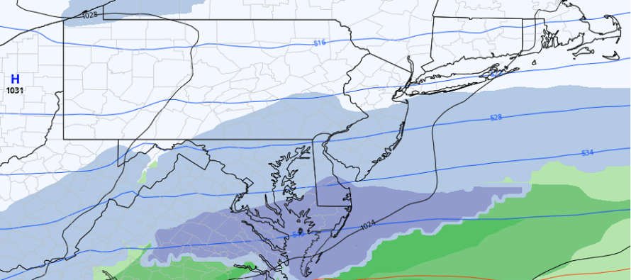
Discussion: The weekend is rather straightforward. As of right now (Thursday afternoon) it’s still windy out of the W/NW behind the departing system that brought snow and rain to NJ on Wednesday. These winds should continue howling into Thursday night then gradually subside by Friday morning. Friday looks like a colder day but not brutal. Saturday starts a period of moderation that likely lasts through Sunday and into Monday evening. First a weak high will pass through just N of Bermuda and switch our wind flow to the SW by Sunday. Then a mostly dry (some iso showers) frontal system will pass through with the enhancement of a secondary OBX low between Monday Morning and Monday evening. The back side of that Monday PM low will yank down a cold front in a very flat wave environment…producing a colder but tranquil Tuesday. This will set the track for the Wednesday system to slide across the general Mason Dixon line from W to E which could produce a South Jersey Express or Special regarding at least a light snow event. There are some uncertainties with this such as surface temps during snowfall and the exact formation of the wave precip shield but such ideas will be ironed out over this weekend. I’ll be watching closely. Most guidance then has a calm but cold Thurs-Friday before a stronger and more organized low possibly brings more snow/rain to NJ on Saturday. The Euro is leaning more towards a snow event. The GFS is less impressed. Then the third signal I am looking at is just a signal for now in the Feb 7-8 period to close out the favorable period/environment for snowstorm development. The upper-level idea is that the polar vortex is going to kick some Arctic air into SE Canada/NE US (temporary -AO). The NE Pacific is going to ridge with a temporary +PNA to close out January into early February. NAO (Greenland blocking is near-neutral to slightly negative with a sharp swing positive in the Feb 3-5 period (typically a winter storm signal). This should all produce a trough pattern for the E US in the Jan 31-Feb 8 period. Whether or not any system can capitalize on this is still yet TBD. And after this winter so far, I’m cautiously optimistic. Let’s get through these one-by-one. First, a calmer weekend ending fairly mild, some rain Monday, and then a cold setup heading into the Wednesday possible South Jersey Express event (which could bring snow to CNJ/SNJ/N Delmarva).
Real quick, tonight, Thursday Night (Jan 26), should be a colder night than as of late with winds very gradually subsiding by Friday morning. It probably won’t howl as much as last night/today but still stiff. Overnight lows should range from mid-20s to lower-30s from elevations to coasts.
Friday (Jan 27) high temperatures should just break into the lower-40s for most areas. Elevations might struggle to get above 40. Skies should be mixed with sun and clouds. Winds should relax and become light out of the W. Overnight lows should fall to near-freezing or slightly below away from the ocean.
Saturday (Jan 28) high temperatures should reach the mid-to-upper 40s for most areas possibly 50 away from the ocean in CNJ/SNJ. Skies should be mixed with sun and clouds. Winds should be light out of the W/SW. Overnight lows should range from 30-40 from elevations to coasts.
Sunday (Jan 29) high temperatures should range from lower-40s to lower-50s from elevations to coasts. Skies should start mixed but increase in cloud coverage by afternoon/evening hours. Winds should be light out of the SW. Overnight lows should range from 30-40 from elevations to coasts as possible rain moves in along a cold front.
An early look at next week indicates a lot to unpack. The Monday night cold front will set the stage for a colder week feeling more typical of winter. We’re then looking at a possible South Jersey Express snow event Wednesday (Feb 1), a larger more powerful storm system for next weekend (Feb 3-5), and a third signal in the Feb 7-8 period. I’ll be following the Wednesday potential for SNJ closely this weekend and will report accordingly…keeping the later weekend event in mind and updated. We do, however, have a generally colder and more favorable environment for snow to develop in the upcoming Jan 31-Feb 8 window of time. Have a great weekend and please be safe! JC
Premium Services
KABOOM Club offers inside info forecast discussion, your questions answered, and early storm impact maps (ahead of the public). At a buck per month, it’s an extremely feasible way to show support.
My Pocket Meteorologist (MPM), in partnership with EPAWA Weather Consulting, offers professional/commercial interests, whose businesses depend on outdoor weather conditions (snow plowing, landscaping, construction, etc.), with hyper-local text message alerts/forecasts and access to the MPM premium forum—the most comprehensive and technical forecast discussion available for PA and NJ.
Jonathan Carr (JC) is the founder and sole operator of Weather NJ, New Jersey’s largest independent weather reporting agency. Since 2010, Jonathan has provided weather safety discussion and forecasting services for New Jersey and surrounding areas through the web and social media. Originally branded as Severe NJ Weather (before 2014), Weather NJ is proud to bring you accurate and responsible forecast discussion ahead of high-stakes weather scenarios that impact this great garden state of ours. All Weather. All New Jersey.™ Be safe! JC


LOCAL FORECAST | INTERACTIVE RADAR | LATEST NJ WEATHER ALERTS | WEDDING FORECAST| PRIVACY POLICY
© Copyright 2025 Weather NJ LLC. All Rights Reserved.
Some information that can be found on our website is provided by a private weather station and is not an officially recognized station for weather reporting. Though we always strive to achieve accurate reporting for our own use, it is important that you do NOT depend on the data provided here for any purpose.
