

Cloudy and Unsettled
Discussion: It’s December 1, the start of meteorological winter. If you follow my baseball-to-winter analogy, the first batter has stepped up to the plate in the first inning. We have a long ballgame to go with the 9th inning ending around late-March. Remember, a scoreless game can see a grand slam in the 9th inning. However this ballgame (this winter), I want to see some runs and homers throughout the game. Like previous winter’s I do not want to be hoping for something in the 9th after a boring game. Enough of the analogy, you get the point.
This weekend, we have a strong upper-level jet blowing from the SW. This will pump the E US ridge through Sunday with warmer temperatures but will also usher in another trough for colder temperatures to return next week. Friday and Sunday look the most unsettled this weekend with Saturday an okay day rain-wise between but still mostly cloudy. Next week we then return to colder temperatures.
We’ve been following a wintry signal that has been consistently, one way or another, showing around the Dec 7-9 period. The details of it have been all over the place though. So a consistent appearance but an inconsistent resulting situation on the ground. The latest data suggests an InVerted Trough (IVT) forming to the W/NW of an oceanic low right on Thursday Dec 7 which has some wintry precipitation scraping parts of NJ (nothing major as of now). But I’m just not ready to sound any alarms. I’d like to see how the signal evolves over the weekend. But ~Dec 7 is and has been the first wintry signal of interest to me this season. It’s a weak signal but it’s something to watch. Otherwise the pattern should remain active whether warm or cold and I’ll be looking for one of the systems to time with cold air by mid-to-late December. Onward we go into Winter 2023-2024.
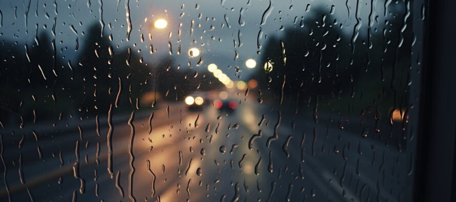
Friday (Dec 1) high temperatures are maxing in the upper-40s to mid-50s across NJ right now (Friday afternoon). Skies should remain cloudy. Some rain has already pushed across NNJ and more is on the way for later this afternoon-evening in other parts of NJ. Nothing crazy mostly just rain and breeze. It should clear out by midnight for most, maybe closer to Saturday morning for SENJ. Winds are light out of the S/SW. Overnight lows should range from mid-30s to near-50 from NNJ elevations to SNJ coasts.
Saturday (Dec 2) high temperatures should reach near-60 for most NJ locations. A mild retreat after recent cold. Skies should be mixed with more clouds than sun. Winds should be light out of the W/SW. Overnight lows should range from 40-50 from NNJ elevations to SNJ coasts.
Sunday (Dec 3) high temperatures should range from 50-60 from NNJ elevations to SNJ coasts. Skies should be mostly cloudy. Winds should be light out of the S/SE. Overnight lows should range from 40-50 from NNJ elevations to SNJ coasts.
An early look at next week indicates a return to colder conditions where highs max in the 40s, and in some cases 30. Not COLD COLD but colder. I’m watching the Dec 6-7 period for a small possible wintry signal. Will have a much better idea in a few days. Have a great weekend and please be safe! JC
Premium Services
KABOOM Club offers inside info forecast discussion, your questions answered, and early storm impact maps (ahead of the public). At a buck per month, it’s an extremely feasible way to show support.
My Pocket Meteorologist (MPM), in partnership with EPAWA Weather Consulting, offers professional/commercial interests, whose businesses depend on outdoor weather conditions (snow plowing, landscaping, construction, etc.), with hyper-local text message alerts/forecasts and access to the MPM premium forum—the most comprehensive and technical forecast discussion available for PA and NJ.
Get your KABOOM Inside Out pajamas and more at the KABOOM shop!
Jonathan Carr (JC) is the founder and sole operator of Weather NJ, New Jersey’s largest independent weather reporting agency. Since 2010, Jonathan has provided weather safety discussion and forecasting services for New Jersey and surrounding areas through the web and social media. Originally branded as Severe NJ Weather (before 2014), Weather NJ is proud to bring you accurate and responsible forecast discussion ahead of high-stakes weather scenarios that impact this great garden state of ours. All Weather. All New Jersey.™ Be safe! JC


LOCAL FORECAST | INTERACTIVE RADAR | LATEST NJ WEATHER ALERTS | WEDDING FORECAST| PRIVACY POLICY
© Copyright 2026 Weather NJ LLC. All Rights Reserved.
Some information that can be found on our website is provided by a private weather station and is not an officially recognized station for weather reporting. Though we always strive to achieve accurate reporting for our own use, it is important that you do NOT depend on the data provided here for any purpose.
