

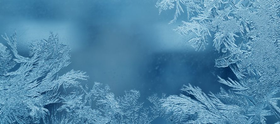
Cold and Dry (Dec 7-11)
Discussion: Much of the state will drop below freezing tonight (Sunday night). The early weekend storm system for NJ went on to bring snow in parts of New England as a decent mid-latitude cyclone. The backside cyclonic flow of that departing low ushered in a much colder air mass for our region and it’s here to stay for a few days. Multiple shortwaves will phase, to our W, in the upper levels to re-enforce the E US trough through at least Wednesday. This will generate another storm at the surface but that is expected to miss NJ well to the S and out to sea Monday-Tuesday. At the absolute most parts of the Jersey shore could see flurries if any outer bands overextend far enough. Very low chance but not off the table. This system should eject into the Atlantic over OBX latitude and swing way out. It’s backside flow will inject a cold shot refresher making Tuesday night into Wednesday morning the coldest point of the week. Thursday and Friday look slightly milder but still under upper level NW flow. Heights do not rebuild fully until the weekend. With that said the weekend looks milder and cloudier. The returning milder and more humid air mass should saturate the cold stale skies with cloud fuel. Other than the offshore miss early this week, the next synoptic storm signal period to watch is likely Dec 13-16. That’s when the next trough of cold air is expected and we’ll have to monitor what the shortwaves are doing.
Note: Unless specifically mentioned by location (Example: NNJ elevations, SENJ immediate coast, Interior CNJ/SNJ, etc.) assume the following forecast language is statewide for New Jersey. When I say “from elevations to sea” I mean from NWNJ mountains spreading down to immediate ECNJ/SNJ coastal areas. Directions are shortened (N = North, S = South, W/SW = West/SouthWest, etc.).
Monday (Dec 7) high temperatures should struggle to escape the 30s statewide. Skies should be mostly sunny with a few wintry feeling friendly clouds around. Winds should be light out of the W/SW. Overnight lows should fall into the teens for NNJ elevations and SNJ Pine Barrens. The rest of NJ should have no problem falling into the 20s. All of NJ below freezing until mid-to-late Tuesday AM.
Tuesday (Dec 8) high temperatures should again struggle to climb out of the 30s. Skies should be similar to Monday. Winds should be light out of the NW. Overnight lows should range from teens to 20s from elevations to sea. All of NJ below freezing until mid-to-late Wednesday AM.
Wednesday (Dec 9) high temperatures should reach further into the 40s. Skies should be mixed with sun and clouds. Winds should be light out of the W/SW. Overnight lows should range from 20s to 30s from elevations to sea.
Thursday (Dec 10) high temperatures should reach the low-to-mid 50s. Skies should be mostly sunny. Should feel mild after Monday-Wednesday. Winds should be light out of the W/NW. Overnight lows should range from near-30 to near-40 from elevations to sea.
Friday (Dec 11) high temperatures should range from upper-40s to mid-50s from elevations to sea. Skies should be mixed with sun and clouds. Winds should be light out of the SE. Overnight lows should range from near-30 to near-40.
An early look at the weekend indicates unsettled, cloudy, and milder conditions. Highs in the 40s/50s. Lows in the 30s/40s type stuff. Early next week is the next storm signal I’m watching. Have a great week and please be safe! JC
Download the free Weather NJ mobile app on Apple or Android. It’s the easiest way to never miss Weather NJ content. Our premium services go even further above and beyond at the hyper-local level. Get your merch on at the KABOOM shop in time for the holidays.
Jonathan Carr (JC) is the founder and sole operator of Weather NJ, New Jersey’s largest independent weather reporting agency. Since 2010, Jonathan has provided weather safety discussion and forecasting services for New Jersey and surrounding areas through the web and social media. Originally branded as Severe NJ Weather (before 2014), Weather NJ is proud to bring you accurate and responsible forecast discussion ahead of high-stakes weather scenarios that impact this great garden state of ours. All Weather. All New Jersey.™ Be safe! JC


LOCAL FORECAST | INTERACTIVE RADAR | LATEST NJ WEATHER ALERTS | WEDDING FORECAST| PRIVACY POLICY
© Copyright 2026 Weather NJ LLC. All Rights Reserved.
Some information that can be found on our website is provided by a private weather station and is not an officially recognized station for weather reporting. Though we always strive to achieve accurate reporting for our own use, it is important that you do NOT depend on the data provided here for any purpose.

)