

Cold and Mostly Dry (Feb 3-5)
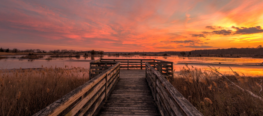
I just took this picture tonight on my way home. It’s been a while since I’ve been able to grab a sunset shot. So there’s that. Otherwise, high pressure has control of the region this weekend. That should keep it cold and mostly dry. Let’s break it down…
Disco: A strong area of high pressure will track from SW Canada through the Midwest US and ultimately to our S into the Atlantic Ocean. This places us in the Hadooken zone of anti-cyclonic flow tonight through Saturday (cold NW winds rotating clockwise around the high). By Sunday, the high will be sending return flow back into our region. We’ll moderate some on Sunday with SW winds but remain cool overall. It might feel mild after Friday and Saturday. Dry sinking air will come with the high. Therefore stargazing should be amazing Friday and Saturday night before the ~half moon rises between 10-11PM each night. Super Bowl Sunday might deal with isolated-to-scattered snow showers but mainly for points N, closer to the disturbance that will miss us well to our N in Canada. Next week is looking interesting. It looks like we could be dealing with a strong inland cutting low earlier in the week followed by a possible coastal snow event heading into the weekend. I’ll keep these disturbances in my peripheral vision for now and revisit on Sunday.
Sign Up for My Pocket Meteorologist
Overnight temperatures tonight should fall into the teens and 20s statewide with mostly clear skies.
Friday (Feb 3) high temperatures should be capped in the 30s with many areas struggling to break freezing (32F). Skies should be mixed with sun and clouds. Winds should be breezy-to-gusty out of the W/NW (mind the wind chill). Overnight lows should fall into the teens and 20s again. Single digits are not off the table for NWNJ elevations and possibly the pine barrens.
Saturday (Feb 4) high temperatures should again struggle to break freezing (32F). Skies should be mostly sunny. Winds should remain breezy-to-gusty out of the W/NW (mind the wind chill). Overnight lows should fall into the teens and 20s again.
Sunday (Feb 5) high temperatures should reach the upper-30s/lower-40s for most. Coastal regions could reach the mid-40s. Skies should be partly-to-mostly cloudy. Snow showers are possible for NNJ (let’s call it N of I-195). Anything from a dusting to a coating is possible. Anything that falls S of I-195 would likely melt if not already falling/landing as rain. Overall I’m not enthused about total precipitation. Winds should be breezy-to-gusty out of the SW. Overnight lows should fall into the upper-20s/lower-30s.
An early look at next week indicates volatile conditions. We could see a strong storm miss us well to the NW on Wednesday. That could bring a frontal rain system through on Wednesday. Then a little something-something is trying to form a few days later. It would be a coastal winter snow storm if it were to verify. The way this winter is going however I wouldn’t do anything more than casually watch until we’re within 96 hours. Have a great weekend. Everyone bundle up, stay warm and be safe! JC
Jonathan Carr (JC) is the founder and sole operator of Weather NJ, New Jersey’s largest independent weather reporting agency. Since 2010, Jonathan has provided weather safety discussion and forecasting services for New Jersey and surrounding areas through the web and social media. Originally branded as Severe NJ Weather (before 2014), Weather NJ is proud to bring you accurate and responsible forecast discussion ahead of high-stakes weather scenarios that impact this great garden state of ours. All Weather. All New Jersey.™ Be safe! JC


LOCAL FORECAST | INTERACTIVE RADAR | LATEST NJ WEATHER ALERTS | WEDDING FORECAST| PRIVACY POLICY
© Copyright 2026 Weather NJ LLC. All Rights Reserved.
Some information that can be found on our website is provided by a private weather station and is not an officially recognized station for weather reporting. Though we always strive to achieve accurate reporting for our own use, it is important that you do NOT depend on the data provided here for any purpose.

)