Cold Conditions Expected (Nov 10-12)

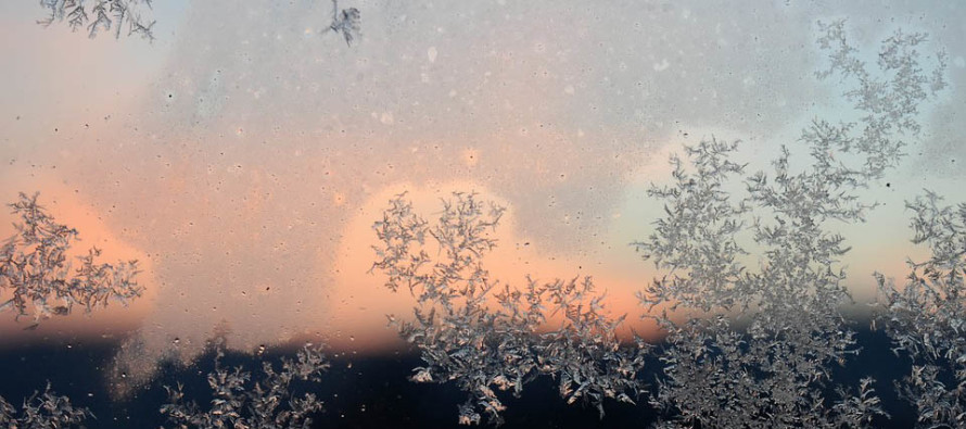
Discussion: A shallow trough will bring a transient period of well-below average temperatures to the region tonight through Sunday morning. The Arctic shot should peak for New Jersey Saturday AM with moderation expected by Sunday afternoon. Friday and Saturday night should feature the lowest temperatures of the shot. 500mb height anomalies build on Sunday with nothing remarkable until the November 18-forward period when more Arctic shots of cold air are expected with a decent storm signal in the November 18-22 period.
Friday (Nov 10) high temperatures should fail to escape the 30s for most. Only the immediate coast should get into the lower-40s. Skies should be mostly sunny with a bitter-cold feel. Winds should be breezy-to-gusty out of the NW. Winds chills will be in play. Overnight lows should fall into the teens for most with coastal regions hanging in the 20s.
Saturday (Nov 11) high temperatures should again struggle to escape the 30s for most with coastal areas just breaking into the lower-40s. Skies should be mostly sunny. Winds should relax through AM hours and settle out of the N by afternoon. Overnight lows should range from teens to 20s from the mountains to the coast.
Sunday (Nov 12) high temperatures should reach into the 40s for most. Parts of SNJ should reach into the lower-50s. Skies should transition from partly to mostly cloudy. Winds should be light out of the E. Overnight lows should range from upper-20s in the NNJ elevations to lower-40s along the SNJ coast.
An early look at next week indicates temperatures near or slightly below average. Not seeing any major storm systems. Definitely watching the November 18-22 storm signal though.
For comprehensive hyper-local analysis that goes way above and beyond the detail of this public forecast, check out our premium services.
Jonathan Carr (JC) is the founder and sole operator of Weather NJ, New Jersey’s largest independent weather reporting agency. Since 2010, Jonathan has provided weather safety discussion and forecasting services for New Jersey and surrounding areas through the web and social media. Originally branded as Severe NJ Weather (before 2014), Weather NJ is proud to bring you accurate and responsible forecast discussion ahead of high-stakes weather scenarios that impact this great garden state of ours. All Weather. All New Jersey.™ Be safe! JC


