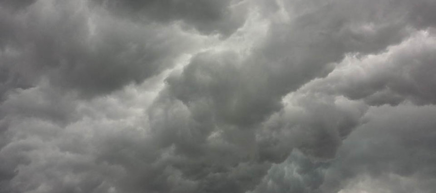
Cool and Cloudy (Sept 11-13)

Discussion: The tropics are on fire, as they should be this time of year. There are 4 systems currently being tracked by the National Hurricane Center. Two of them look to remain out to sea (Paulette and Rene – as of now). Invest 96L looks to cross S Florida and head into the Gulf of Mexico. The only one I am currently watching with greater interest is Invest 95L. 95L is currently located in the southern central Atlantic Ocean and heading towards the NE area of the Caribbean Sea. I’ll continue tracking and report accordingly. For this weekend we have high pressure passing from W to E just to the N of NJ. This should keep the weekend cooler and mostly dry but with clouds due to onshore flow establishing on the high’s return flow. Things then warm up and become more humid for Sunday PM into Monday but then return to dry and cool as more high pressure moves in for next week. And like I said, I’ll be following the tropics.
Note: Unless specifically mentioned by location (Example: NNJ elevations, SENJ immediate coast, Interior CNJ/SNJ, etc.) assume the following forecast language is statewide for New Jersey. When I say “from elevations to sea” I mean from NWNJ mountains spreading down to SENJ coastal areas. Directions are shortened (N = North, S = South, W/SW = West/SouthWest, etc.).
Friday (Sept 11) high temperatures should reach the mid-to-upper 70s. Skies should transition from mostly cloudy to partly cloudy. Humidity should lessen throughout the day. Winds should be light out of the N/NE. Overnight lows could actually fall into the 40s for NWNJ elevations. The rest (most) of NJ should fall into the 50s while immediate ECNJ/SENJ coastal areas hang in the 60s from marine influence.
Saturday (Sept 12) high temperatures should reach the low-to-mid 70s. Skies should be mixed with sun and clouds with a less humid feel. Winds should be light out of the E/NE. Overnight lows should range from near-50 to mid-60s from elevations to sea. Again, interior/elevations cooler than immediate ECNJ/SENJ coastal areas.
Sunday (Sept 13) high temperatures should reach the mid-to-upper 70s. Skies should be partly-to-mostly cloudy. Winds should be light out of the SE. Overnight lows should range from near-60 to near-70 from elevations to sea.
An early look at the rest of next week indicates most temperatures in the 70s with maybe the warmer interior CNJ/SNJ locations flirting with near-80/low-80s. It looks like a cloudy Monday, a clear and sunny Tuesday-Thursday, and then an unsettled Friday to start next weekend. Let’s take another look in a few days. Everyone have a great weekend and please be safe! JC
Download the free Weather NJ mobile app on Apple and/or Android. It’s the easiest way to never miss Weather NJ content. Our premium services go even further above and beyond at the hyper-local level. Looking for industrial-caliber long-range forecasting data that I personally use and recommend? Check out WeatherTrends360!
Jonathan Carr (JC) is the founder and sole operator of Weather NJ, New Jersey’s largest independent weather reporting agency. Since 2010, Jonathan has provided weather safety discussion and forecasting services for New Jersey and surrounding areas through the web and social media. Originally branded as Severe NJ Weather (before 2014), Weather NJ is proud to bring you accurate and responsible forecast discussion ahead of high-stakes weather scenarios that impact this great garden state of ours. All Weather. All New Jersey.™ Be safe! JC


