

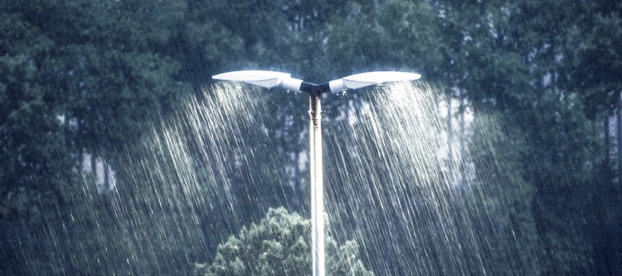
Dec 19: Rainstorm Approaching

Discussion: A shortwave that came off the Pacific (over California) will phase with a northern stream shortwave over the southern central US and depart over the Atlantic Ocean. The surface low of interest will form “miller-A” style out of the northern Gulf of Mexico and ride up the E US over the ~Appalachian Mountain track. This track is way too warm of a track for NJ, or even Mid-Atlantic US, snowfall. Therefore this system should produce all rain for the NJ coverage region. A few inches of rainfall are expected for most areas which creates a flash flooding concern for areas of poor drainage. Given the low track, onshore flow should be present but limited. Therefore likely minor (low-end of moderate worst case) coastal flooding is possible Friday AM.
I’m noticing that the surface low pressure wants to jump around as it rides the east coast northward. Therefore to be safe, let’s take the mean track of all the jumps and leave the wildcard door open for a track closer to the coast. This would likely still mean all rain for NJ but it could mean a stronger onshore component with snow surprises just to our N/W in NY/PA. Again, just a wildcard to consider given the spread in data.
Many of you are asking “When is it going to snow?” and “What about this Polar Vortex?” Well, the next few chances are first Christmas Eve and shortly after Christmas Day. These are small event potentials that that guidance has been flirting with the past few days. The Christmas Eve possibility seems fast and weak with lacking moisture but there IS a weak disturbance showing. The Euro is a bit more enthused about the Dec 26 potential for the northern half of NJ. I am watching both of these and will cover more in tomorrow’s weekend outlook. After that we have to see how the stratospheric warming affects the polar vortex. If the polar vortex relaxes enough to spill over the US then we could be looking at true Arctic air influence to close out 2018 and open up 2019. Any disturbance under such conditions would likely be wintry. So nothing specific on the horizon but lots to watch.
In English: I hope you are enjoying the new Weather NJ mobile app on Apple and Android. A rainstorm is approaching. Rainfall should begin Thursday afternoon (from SNJ to NNJ) and reach peak intensity late Thursday night/Friday AM. Rainfall could be heavy at times. Both flash and coastal flooding are possible Friday AM during peak rainstorm conditions. Rainfall should then slowly taper off Friday PM into early Saturday AM. Total event rainfall could reach 2-3 inches for many. Saturday and Sunday then look relatively dry as NW winds crash in behind the departing storm. With that said, Saturday PM into the Christmas period look colder. The full weekend outlook will be released tomorrow evening with more detail about the snow possibilities that surround the Christmas period. Have a great night and please be safe! JC
Jonathan Carr (JC) is the founder and sole operator of Weather NJ, New Jersey’s largest independent weather reporting agency. Since 2010, Jonathan has provided weather safety discussion and forecasting services for New Jersey and surrounding areas through the web and social media. Originally branded as Severe NJ Weather (before 2014), Weather NJ is proud to bring you accurate and responsible forecast discussion ahead of high-stakes weather scenarios that impact this great garden state of ours. All Weather. All New Jersey.™ Be safe! JC


LOCAL FORECAST | INTERACTIVE RADAR | LATEST NJ WEATHER ALERTS | WEDDING FORECAST| PRIVACY POLICY
© Copyright 2025 Weather NJ LLC. All Rights Reserved.
Some information that can be found on our website is provided by a private weather station and is not an officially recognized station for weather reporting. Though we always strive to achieve accurate reporting for our own use, it is important that you do NOT depend on the data provided here for any purpose.
