

Feb 12: Storm Update and High Wind Warning
Mixed wintry precipitation is falling across NNJ. Winds are going to crank tonight-tomorrow. Let’s break it down…
Disco: High pressure to the NE is back-feeding the surface and 925mb level with cold air (between I-78/I-80 and northward). The approaching low from the W is feeding the 850mb level with warmer air—all while precipitation is jointly pulled off the ocean. So basically it’s cold enough for snow formation above 850mb for NNJ however this snow is descending through a warmer 850mb level followed by a colder 925mb level before hitting the ground. This is why precipitation types are currently bouncing between snow, sleet and freezing rain in NNJ.
The lower-mid levels are only going to warm from this point and forward as the low approaches and moves though NJ. The surface however could remain stubborn and there exists the concern for dangerous icing N of I-80. The rain has not yet made it to CNJ/SNJ (S of I-80) but it’s fast approaching. Just remember, the dividing line between ice and just rain will be determined by surface temperatures. This line could extend as far south as I-78 maybe even a few miles S. And that’s the only thing happening today S of that surface line of freezing, just rain for now.
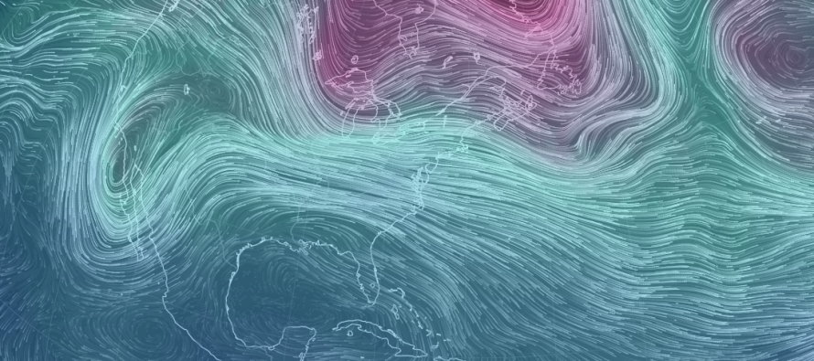
The next concern is high winds and they are statewide. Once the low ejects into the Atlantic Ocean later this afternoon-evening, it’s going to rapidly intensify. The precipitation associated with it will also depart to our N and E, delivering another crippling snow storm to coastal New England. New Jersey will then be caught between the low’s backside northerly flow and an approaching high’s front-side northerly flow. These two synoptic players should combine forces and produce strong northerly winds at the surface for New Jersey starting tonight and lasting through most of tomorrow. Most surface/lower-level guidance is suggesting sustained winds of 25-35mph with possible gusts of 50-60mph. Winds should then subside by tomorrow evening.
In English: NNJ is currently bouncing back and forth between wintry precipitation types. Northern elevations are snowier and lower elevations are icier. As the lower-mid levels of the atmosphere warm, precipitation type should go over to rain. Areas where the surface is still at or below freezing will continue to ice-over which represents the freezing rain threat. This should make roads very slippery. I don’t know where this came from but it just popped in there…like Stay Puff popped in Ray’s head…but “if you go outside and slip, you should probably cancel your trip” (shrug).
Once the rain ends later this afternoon-evening, a high wind threat exists statewide. Sustained winds of 25-35mph are possible with gusts to 50mph+ (out of the NW). These winds should begin picking up tonight and last through most of tomorrow. They are expected to subside by tomorrow night. With that said, it’s probably a good time to secure loose stuff outside. NNJ areas with ice on tree branches and/or power lines are more susceptible to power outages with these high winds but power outages are a possibility for all of New Jersey in general. Please be safe! JC
Jonathan Carr (JC) is the founder and sole operator of Weather NJ, New Jersey’s largest independent weather reporting agency. Since 2010, Jonathan has provided weather safety discussion and forecasting services for New Jersey and surrounding areas through the web and social media. Originally branded as Severe NJ Weather (before 2014), Weather NJ is proud to bring you accurate and responsible forecast discussion ahead of high-stakes weather scenarios that impact this great garden state of ours. All Weather. All New Jersey.™ Be safe! JC


LOCAL FORECAST | INTERACTIVE RADAR | LATEST NJ WEATHER ALERTS | WEDDING FORECAST| PRIVACY POLICY
© Copyright 2026 Weather NJ LLC. All Rights Reserved.
Some information that can be found on our website is provided by a private weather station and is not an officially recognized station for weather reporting. Though we always strive to achieve accurate reporting for our own use, it is important that you do NOT depend on the data provided here for any purpose.
