

Feb 16: Light Snow Targeting NNJ
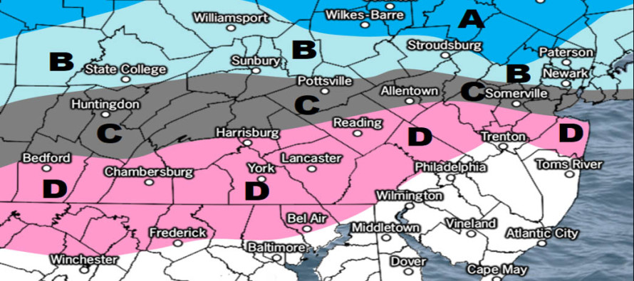

Click here to view full resolution map!
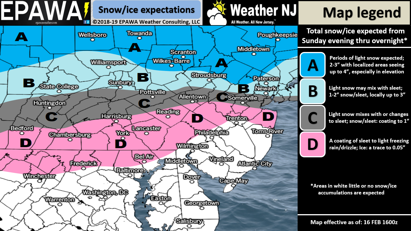
Discussion: A weak area of low pressure will track across NJ from W to E between Sunday evening and Monday morning. No tricks or curve balls. It’s fairly straight forward. I’m not seeing much of an issue S of I-80. Therefore really only extreme NNJ stands the chance to see a few inches. Given the marginal temperature profile there could be sleet mixed in and/or surface temp problems for most areas S of I-80. It’s a light event targeting NNJ for the wintry aspect. Most areas along and S of I-195 should see plain rain only from start to finish. The High Point/Sussex area should see the highest accumulations from the event.
The next signal is mid-week (Wednesday evening through Thursday morning) which still looks like a snow-to-rain (from S to N) type system. We just saw something similar this past Tuesday. This one would likely feature less ice. Another low pressure system will bring in warm SW flow which will erode lower-level cold enforced by a retreating high. If the high was modeled a little further NW then it would hold more cold in and allow a stronger front-end snowy thump. The way it’s modeled however the high is further SE (further E of the incoming low) which pumps a warmer return flow out of the S. Therefore there’s nothing to hold the cold at the lower-levels. So right now the mid-week signal looks like a quick snow to rain scenario with SNJ over first and NNJ over last. Perhaps NNJ could squeeze out another few inches of wintry precipitation before the changeover.
In English: Snow is likely for NNJ Sunday night into early Monday morning with a few inches possible N of I-80. NNJ elevations should see the highest amounts. CNJ is likely a wintry mix with all of SNJ rain. I’m still keeping an eye on the mid-week system but it still looks like a quick snow-to-rain scenario. Let’s see how it looks tomorrow in the Monday-Friday outlook. Download the new free Weather NJ mobile app on Apple and/or Android. It’s the easiest way to never miss Weather NJ content. Our premium services go above and beyond at the hyperlocal level. Have a great rest of your Sunday and please be safe! JC
Jonathan Carr (JC) is the founder and sole operator of Weather NJ, New Jersey’s largest independent weather reporting agency. Since 2010, Jonathan has provided weather safety discussion and forecasting services for New Jersey and surrounding areas through the web and social media. Originally branded as Severe NJ Weather (before 2014), Weather NJ is proud to bring you accurate and responsible forecast discussion ahead of high-stakes weather scenarios that impact this great garden state of ours. All Weather. All New Jersey.™ Be safe! JC


LOCAL FORECAST | INTERACTIVE RADAR | LATEST NJ WEATHER ALERTS | WEDDING FORECAST| PRIVACY POLICY
© Copyright 2026 Weather NJ LLC. All Rights Reserved.
Some information that can be found on our website is provided by a private weather station and is not an officially recognized station for weather reporting. Though we always strive to achieve accurate reporting for our own use, it is important that you do NOT depend on the data provided here for any purpose.
