

Feb 20: Update
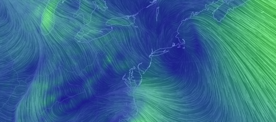

Discussion: The front-end snow phase of this system is coming to an end. Precipitation has become very light but still existent. Not heavy enough to sustain mid-daylight hour accumulations. Therefore whatever you have snow-wise now is likely it. Snowfall performed slightly on the lower end of expectations despite being advertised as “not a big deal.” We now turn to the most dangerous phase of this system with regard to travel safety. The ice.
The surface line of freezing is advancing northward from SNJ. It should make its way up to about the turnpike between now and about ~6pm. The lower-levels (925-850mb) are also warming so SNJ should be changing over soon. These areas could experience a brief period of sleet before changing to rain. The surface will be above freezing and therefore freezing rain is less of an issue. The greatest travel concern for areas SE of the turnpike is leftover slush formed from rainfall and melting accumulations from today. Less of an issue on highways. More of an issue for side roads. Rain should end for CNJ/SNJ near midnight.
From about 6pm to midnight tonight areas NW of the turnpike are at risk of ice. For this area the lower-levels (925-850mb) will warm faster than the surface which creates the freezing rain threat. This is far more dangerous than the light snow accumulations we’ve seen today. The surface line of freezing will be your primary indicator for freezing rain vs rain. It will warm above freezing from S to N starting at the turnpike and ending near I-80. By the time precipitation ends near midnight, areas N of I-80 and/or NW of I-287 could still be below freezing at the surface. The depth of the Warm Air Advection (WAA) layer will determine sleet vs freezing rain as far as what falls. Sleet should precede the freezing rain as the WAA layer starts shallow and deepens over time.
In English: That’s about it for snow accumulation. We’re in a lull of light scattered precipitation but likely not enough to accumulate further. Precipitation will pick back up again by 6pm. Temperatures however are starting to warm in SNJ and this warming will advance into CNJ first followed by NNJ later this evening. The primary travel safety hazard will be ice this evening in NNJ and CNJ. SNJ should change over to all rain rather quickly. Only a small chance of sleet between the SNJ changeover. CNJ will eventually change over to all rain but NNJ could hold onto the ice threat until precipitation ends around midnight. Can’t emphasize enough how dangerous travel will be in these areas of concern. Expect everything to be glazed with ice. Download the new free Weather NJ mobile app on Apple and/or Android. It’s the easiest way to never miss Weather NJ content. Our premium services go even further above and beyond at the hyperlocal level. Have a great rest of your Wednesday and please be safe! JC
Jonathan Carr (JC) is the founder and sole operator of Weather NJ, New Jersey’s largest independent weather reporting agency. Since 2010, Jonathan has provided weather safety discussion and forecasting services for New Jersey and surrounding areas through the web and social media. Originally branded as Severe NJ Weather (before 2014), Weather NJ is proud to bring you accurate and responsible forecast discussion ahead of high-stakes weather scenarios that impact this great garden state of ours. All Weather. All New Jersey.™ Be safe! JC


LOCAL FORECAST | INTERACTIVE RADAR | LATEST NJ WEATHER ALERTS | WEDDING FORECAST| PRIVACY POLICY
© Copyright 2026 Weather NJ LLC. All Rights Reserved.
Some information that can be found on our website is provided by a private weather station and is not an officially recognized station for weather reporting. Though we always strive to achieve accurate reporting for our own use, it is important that you do NOT depend on the data provided here for any purpose.
