

Feb 23: Tuesday Morning Observations
The first and weaker surface low is located just N of the Outer Banks in North Carolina. Precipitation has spread throughout the lower 2/3 of New Jersey and is slowly advancing northward. As far as the wintry precipitation profile goes, most of New Jersey is above freezing at the surface aside from NNJ elevations. 925mb and 850mb levels however are below freezing as far south as I-78 and possibly even I-95.
This tells me that whatever front-end burst of snow and/or mix NNJ sees today will have trouble sticking everywhere except the NNJ elevations. Natural surfaces should do much better than paved surfaces. For lower elevations of NNJ and CNJ, you might see some snow and/or mixed precipitation initially falling through the colder lower layers of the atmosphere but it will likely not stick. Wet roads and white rain (as we like to call it). SNJ should be all rain today as expected. The only parts of New Jersey that could see up to a few slushy inches of snow before the changeover to rain are NNJ elevations above 800ft. All levels of the atmosphere will eventually rise above freezing later today resulting in rainfall for all.
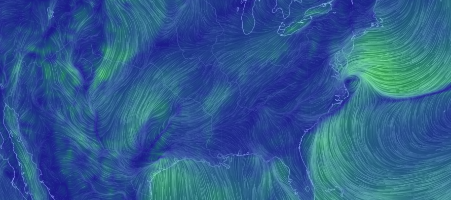
This weaker low will move out to sea as today progresses. There might be a lull in precipitation tonight into tomorrow but not much if any. The second and much stronger low will then track through the Ohio Valley, over the eastern Great Lakes and into Canada tomorrow through Thursday morning. It should rapidly intensify along its path, eventually reaching a sub-980mb intensity by the time it reaches Canada. It should be a sub-990mb storm as it passes through our latitudes to our W. Believe it or not this actually presents a thunderstorm risk ahead and along the system’s cold front to it’s south. Higher wind gusts should therefore be expected tomorrow into Thursday. The cold front should pass through New Jersey later tomorrow night into the early AM hours of Thursday.
It should then clear out for a period on Thursday but with the cold front through and such a strong W/NW flow over the Great Lakes, scattered snow showers are possible for Thursday PM hours. Given how strong this synoptic system will be, it will alter the entire region around it in its wake. The most obvious impact I see in the aftermath is a colder and breezier Friday-Saturday. Temperatures still look to moderate slightly for Sunday as high pressure regains control. The entire weekend still looks dry however despite the breezy and chilly expected conditions.
In English: Wet snow in NNJ today (little to no accumulations below 800ft of elevation and a few slushy inches above) with rain for CNJ/SNJ. There might be a small break in the rain tonight but then rain for all tomorrow into Thursday with strong southerly winds and possible thunderstorms. SNJ would be the most favorable for thunderstorms given the expected warmest temperatures of the state (think instability). Total precipitation through Thursday should be about 1-2 inches of rain with possibly more localized around any convective downpours (thunderstorms). Wind gusts would only exceed 58mph in the event of a severe thunderstorm. Otherwise winds should be 15-25mph sustained with gusts to 40mph statewide out of the S. I’ll make another observational post this evening. Everyone have a great Tuesday and be safe! JC
Jonathan Carr (JC) is the founder and sole operator of Weather NJ, New Jersey’s largest independent weather reporting agency. Since 2010, Jonathan has provided weather safety discussion and forecasting services for New Jersey and surrounding areas through the web and social media. Originally branded as Severe NJ Weather (before 2014), Weather NJ is proud to bring you accurate and responsible forecast discussion ahead of high-stakes weather scenarios that impact this great garden state of ours. All Weather. All New Jersey.™ Be safe! JC


LOCAL FORECAST | INTERACTIVE RADAR | LATEST NJ WEATHER ALERTS | WEDDING FORECAST| PRIVACY POLICY
© Copyright 2026 Weather NJ LLC. All Rights Reserved.
Some information that can be found on our website is provided by a private weather station and is not an officially recognized station for weather reporting. Though we always strive to achieve accurate reporting for our own use, it is important that you do NOT depend on the data provided here for any purpose.
