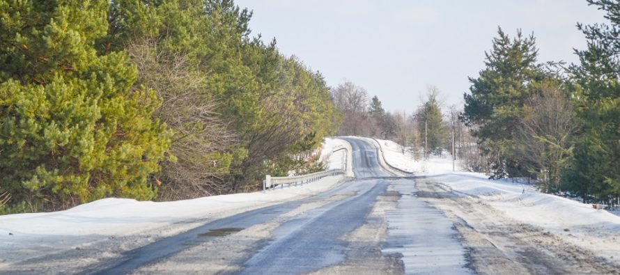
Four Seasons. One Week.

Discussion: Obviously, today is mild. We’re in the warm sector and a cold front is approaching. The front should push a thin line or two of downpours, gusty winds, and possibly thunderstorms this evening/tonight from W/NW to E/SE. The actual front/temp drop should then occur during early Tuesday am hours. This makes Tuesday much cooler than how Sunday-Monday were. Tuesday night we drop again but likely not enough…
On Wednesday, weak wave will push through with a much colder temp profile aloft than at the surface. 925mb and above will all be below freezing. The surface layer however will likely reach into the upper-30s/lower-40s range. SNJ is probably looking at rain start to finish but NNJ and CNJ could see snow fall on Wednesday morning-afternoon. With the warmer surface, most of this should melt on contact (white rain). Only areas NW of the turnpike, especially NWNJ elevations, could see a slushy coating and mostly on non-paved surfaces. If anything is going to stick Wednesday, it will be during morning hours when precip rates could possibly overcome a mid-30s surface environment and again likely only on non-paved surfaces. Once the sun is up Wednesday, it will simply be too warm. Sun angle and general climatology should win out against accumulation despite any snow falling. Not seeing any closures or even delays…but a white rain environment could still make traffic slow-going Wednesday AM.
Thursday and Friday look pretty uneventful and tranquil but Saturday could see more snow. Another weaker wave should be riding the front of a trough. Like Wednesday, areas NW of the turnpike would be more favored with NWNJ elevations the most favored. Not seeing much wintry action beyond this Wednesday and Saturday. You never want to lock into a definitive stance for the end of winter (see March of 2014 and 2018). But that might be it folks.
Monday (March 7) high temperatures should reach into the 70s for most areas. A few sunny breaks but otherwise increasing cloud coverage. Rain, perhaps some thunderstorm activity, is possible later this afternoon/evening (thin strip of heavy rain/storms). Should all clear through by midnight with colder temperatures moving in behind for Tuesday. Most areas should drop into the 30s overnight just before daybreak Tuesday morning. Expect a breezy/gusty Monday/Monday night with wind direction transitioning from S/SW to W/NW.
Tuesday (March 8) high temperatures should stay in the mid-to-upper 40s. Skies should improve from partly sunny to mostly sunny throughout the day. Winds should be light to breezy out of the W/NW. Overnight lows should range from upper-20s to upper-30s from N to S.
Wednesday (March 9) high temperatures should reach the upper-30s/lower-40s for most areas. Skies should be mostly cloudy with mixed precipitation possible. NWNJ the best chance for snow and SENJ the best chance for rain (forever divided at I-95). However, with above-freezing surface temperatures, stickage is not likely outside of slush on natural surfaces NW of 95. Overnight lows should again range from upper-20s to upper-30s from N to S.
Thursday (March 10) high temperatures should range from mid-40s to lower-50s from N to S. Skies should be mostly cloudy. Winds should be light out of the E. Overnight lows should range from mid-20s to near-40 from N to S.
Friday (March 11) high temperatures should reach into the 50s for most areas. Skies should transition from clear to cloudy. Rain is possible later PM hours. Winds should be light out of the S/SE. Overnight lows should fall into the 40s for most with rain chances persisting into Saturday.
An early look at the weekend indicates a milder and rainy start for Saturday morning but possibly a changeover to snow again later Saturday. Again, NWNJ would be most-favored for snow. Otherwise Saturday night through Sunday should improve but colder. Not seeing anything wintry beyond that. Let’s see how it looks in a few days once the Wednesday system clears. Have a great week and please be safe! JC
Download the free Weather NJ mobile app on Apple or Android. It’s the easiest way to never miss Weather NJ content. Our premium services go even further above and beyond at the hyper-local level.
Jonathan Carr (JC) is the founder and sole operator of Weather NJ, New Jersey’s largest independent weather reporting agency. Since 2010, Jonathan has provided weather safety discussion and forecasting services for New Jersey and surrounding areas through the web and social media. Originally branded as Severe NJ Weather (before 2014), Weather NJ is proud to bring you accurate and responsible forecast discussion ahead of high-stakes weather scenarios that impact this great garden state of ours. All Weather. All New Jersey.™ Be safe! JC


