

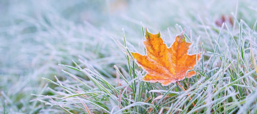
Frigid Conditions Expected (Nov 19-23)
Discussion: A strong upper-level NW jet will set up on the backside of a trough this week. This should deliver a blast of very cold air to NJ between Wednesday evening and Friday morning making Thursday (Thanksgiving Day) the bottom-out period of cold. Overnight temperatures between Wed-Thurs and Thurs-Fri look like the pipe-bursting kind so please make any cold preparations you have to by sunset on Wednesday. Upper-level heights should then relax for the weekend via S return flow from the departing high. The convergence should produce unsettled conditions for the weekend but likely in the form of just rain. The entire weekend doesn’t look like a washout but periods of rain do look possible. Next week then starts the favorable period for winter storm development…the +PNA, -NAO, -AO setup that should span the last week of November/start of December. This does not guarantee a winter storm but it does mean we have to watch this period as we approach and move through it. If a surface solution is to gain consensus it likely won’t be until within a 4-7 day window. For now surface solutions are spraying different outcomes from run to run and they are too early to consider. So right now that’s all there is…a storm signal.
Monday (Nov 19) high temperatures should range from upper-40s to mid-50s NNJ to SNJ. Skies should be partly cloudy for most. NNJ could see a few showers. Winds should be light out of the W. Overnight lows should range from mid-30s to upper-40s NNJ to SNJ.
Tuesday (Nov 20) high temperatures should reach the upper-40s/lower-50s for most. Skies should start mostly cloudy but give way to at least partly sunny conditions. More showers are possible for NNJ (likely AM hours). Winds should be light out of the W/NW. Overnight lows should range from mid-20s to mid-30s NNJ to SNJ.
Wednesday (Nov 21) high temperatures should only reach the low-to-mid 40s statewide. Skies should be mixed with sun and clouds. Winds should be breezy out of the W. Overnight lows should range from teens to 20s NNJ to SNJ.
Thanksgiving Day (Nov 22) high temperatures should only reach the upper-20s/lower-30s. Most of NJ should struggle to climb above freezing. Skies should be mostly sunny and dry which should be favorable for travel. Winds should be breezy out of the N/NW. Overnight lows should fall into the single digits (for NNJ elevations and possibly parts of the Pine Barrens) and likely the teens for everyone else.
Friday (Nov 23) high temperatures should struggle to escape the 30s for most. Perhaps SNJ gets into lower-40s. Skies should be mostly sunny which should actually help the day feel mild after Wed-Thurs conditions. Winds should be light out of the SW. Overnight lows should range from upper-teens to mid-30s NNJ to SNJ (most of NJ falls into 20s).
An early look at the weekend indicates milder conditions relative to how cold this week will be. Highs in the 40s/50s type stuff. The weekend looks unsettled with rain possible at times. Let’s take a more detailed look at this Thanksgiving weekend in a few days. Next week then starts the favorable storm period which I will be watching through the end of November/start of December. Favorable doesn’t mean I am predicting a specific winter storm at this point within that period. It means a general upper-level storm signal that I will be paying attention to. Have a great week and be safe! JC
Jonathan Carr (JC) is the founder and sole operator of Weather NJ, New Jersey’s largest independent weather reporting agency. Since 2010, Jonathan has provided weather safety discussion and forecasting services for New Jersey and surrounding areas through the web and social media. Originally branded as Severe NJ Weather (before 2014), Weather NJ is proud to bring you accurate and responsible forecast discussion ahead of high-stakes weather scenarios that impact this great garden state of ours. All Weather. All New Jersey.™ Be safe! JC


LOCAL FORECAST | INTERACTIVE RADAR | LATEST NJ WEATHER ALERTS | WEDDING FORECAST| PRIVACY POLICY
© Copyright 2026 Weather NJ LLC. All Rights Reserved.
Some information that can be found on our website is provided by a private weather station and is not an officially recognized station for weather reporting. Though we always strive to achieve accurate reporting for our own use, it is important that you do NOT depend on the data provided here for any purpose.

)