Hazy, Hot and Humid Conditions Continue (Sept 4-7)

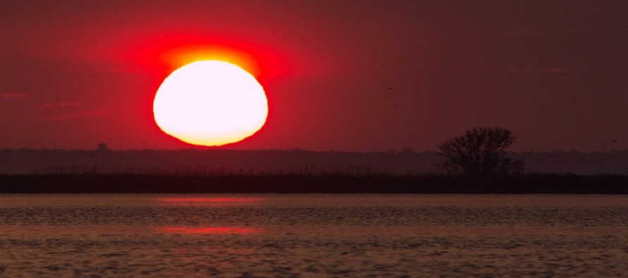
Discussion: Ridging, ridging and more ridging. That’s the story for the Mid-Atlantic US for the rest of this week. That should keep it very tropical feeling with hazy, hot and humid conditions. Most daytime hours this week should be sunny however your typical instability-driven pop-up shower or thunderstorm is possible any day. They should favor afternoon-evening hours after optimal diurnal heating and or sea breeze front interaction. A cooldown is then expected for the weekend as Canadian high pressure pushes the frontal boundary southward over New Jersey. We know how this story goes. If the front comes all the way through then we see relief from temperatures and humidity. If the front only makes it partially southward then NNJ and SNJ could be on different planets. Either way, temperatures are likely going to relax regardless of humidity and that should feel nice after the Tuesday-Thursday stretch. This might come at the cost of cloud coverage and possibly wet conditions depending on the frontal boundary location. Beyond that we’re back to warmer and more humid conditions to start next week. Florence will either stay a fish storm or slam into the E US somewhere. Much uncertainty exists beyond the current Bermuda approach. I doubt we will know anything actionable about Florence before Friday.
Tuesday (Sept 4) high temperatures should reach into the 90s for many areas away from the ocean. Coastal regions and NNJ elevations should reach into the 80s. Skies should be partly sunny and humid which could take heat indices over 100. Very small chance of isolated pop-ups. Winds should be light out of the W. Overnight lows should range from upper-60s to lower-70s NNJ to SNJ.
Wednesday (Sept 5) high temperatures should reach near-90 for many areas away from the ocean. Coastal regions and NNJ elevations should reach into the 80s. Skies should be mostly sunny and humid which could again take heat indices over 100. Isolated thunderstorms are possible toward afternoon-evening hours. Winds should be light out of the SE. Overnight lows should range from upper-60s to lower-70s NNJ to SNJ.
Thursday (Sept 6) high temperatures should break 90 for some areas away from the ocean. Coastal regions and NNJ elevations should reach into the 80s. Skies should be mostly sunny and humid which could yet again take heat indices over 100. A small chance of pop-up showers and thunderstorms exist. Winds should be light out of the SW. Overnight lows should range from mid-60s to lower-70s NNJ to SNJ.
Friday (Sept 7) high temperatures should reach into the 70s for most. Perhaps SNJ reaches the low-80s. Skies should be partly-to-mostly cloudy with showers and thunderstorms around for the first part of the day. Rain should cease with the passage of the front, possibly as early as afternoon. With the expected cold front approaching from the N, NNJ has a better chance to see relief from the humidity than SNJ. Regardless, Friday should feel nice after the hot week even if some humidity lingers. Winds should be light out of the NE. Overnight lows should range from mid-50s to mid-60s.
An early look at the weekend indicates temperatures ranging from 70-80 NNJ to SNJ. It’s yet TBD if the cold front will push far enough south to produce a cooler and drier day Saturday before a wet Sunday…or if the entire weekend looks cloudy and rainy. Then all eyes will turn to Florence and whether it will be staying out to sea or impacting the east coast later next week. Let’s take another look in a few days. Have a great rest of your week and please be safe! JC
Jonathan Carr (JC) is the founder and sole operator of Weather NJ, New Jersey’s largest independent weather reporting agency. Since 2010, Jonathan has provided weather safety discussion and forecasting services for New Jersey and surrounding areas through the web and social media. Originally branded as Severe NJ Weather (before 2014), Weather NJ is proud to bring you accurate and responsible forecast discussion ahead of high-stakes weather scenarios that impact this great garden state of ours. All Weather. All New Jersey.™ Be safe! JC


