

Historic Weekend Snowstorm Buries NJ
Here’s a recap of the January 2016 historic weekend winter storm that impacted tens of millions of people in the Mid-Atlantic US.
Friday Evening, The snowfall had started earlier than expected. This was reminiscent of how the great January 1996 Blizzard began. Most of southern New Jersey saw significant accumulations before midnight. Snowfall continued through the early AM hours before the Atlantic Ocean’s warmer influence took control of south-eastern New Jersey.
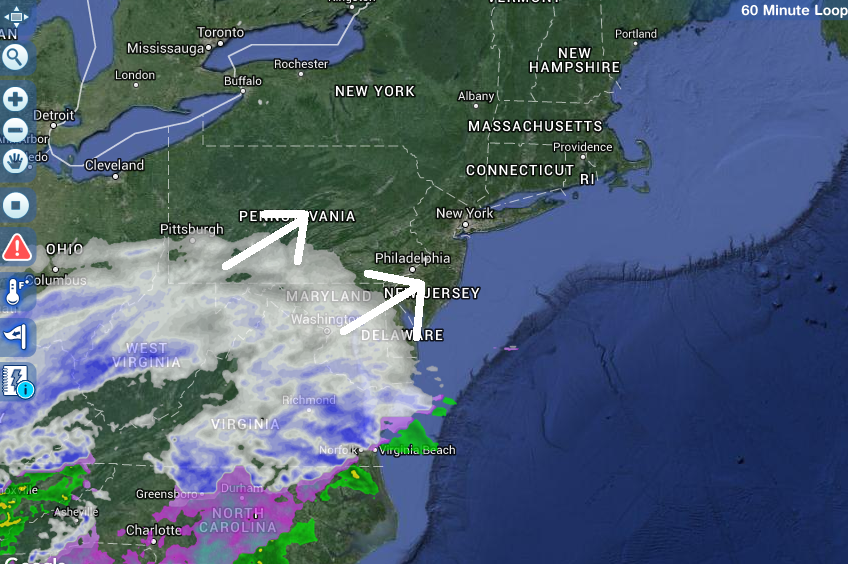
Saturday Morning, the precipitation had spread into northern New Jersey, through the Philadelphia and New York City metropolitan areas. South-eastern New Jersey had changed over to sleet and rain. This was a sure sign this winter storm was over-performing. The short-range North American Mesoscale model was screaming this solution for multiple runs. Given the observations of the upper and mid-level dynamics, the NAM was about to verify almost verbatim. Almost all other model guidance had a sharp cutoff between northern and central New Jersey. Nope!
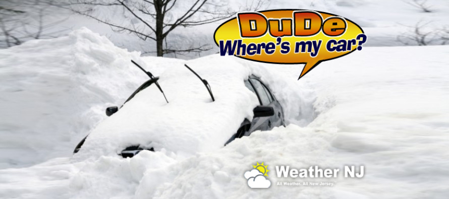
That’s when I decided a Kaboom was not enough. We needed to upgrade to “Dude, where’s my car?”
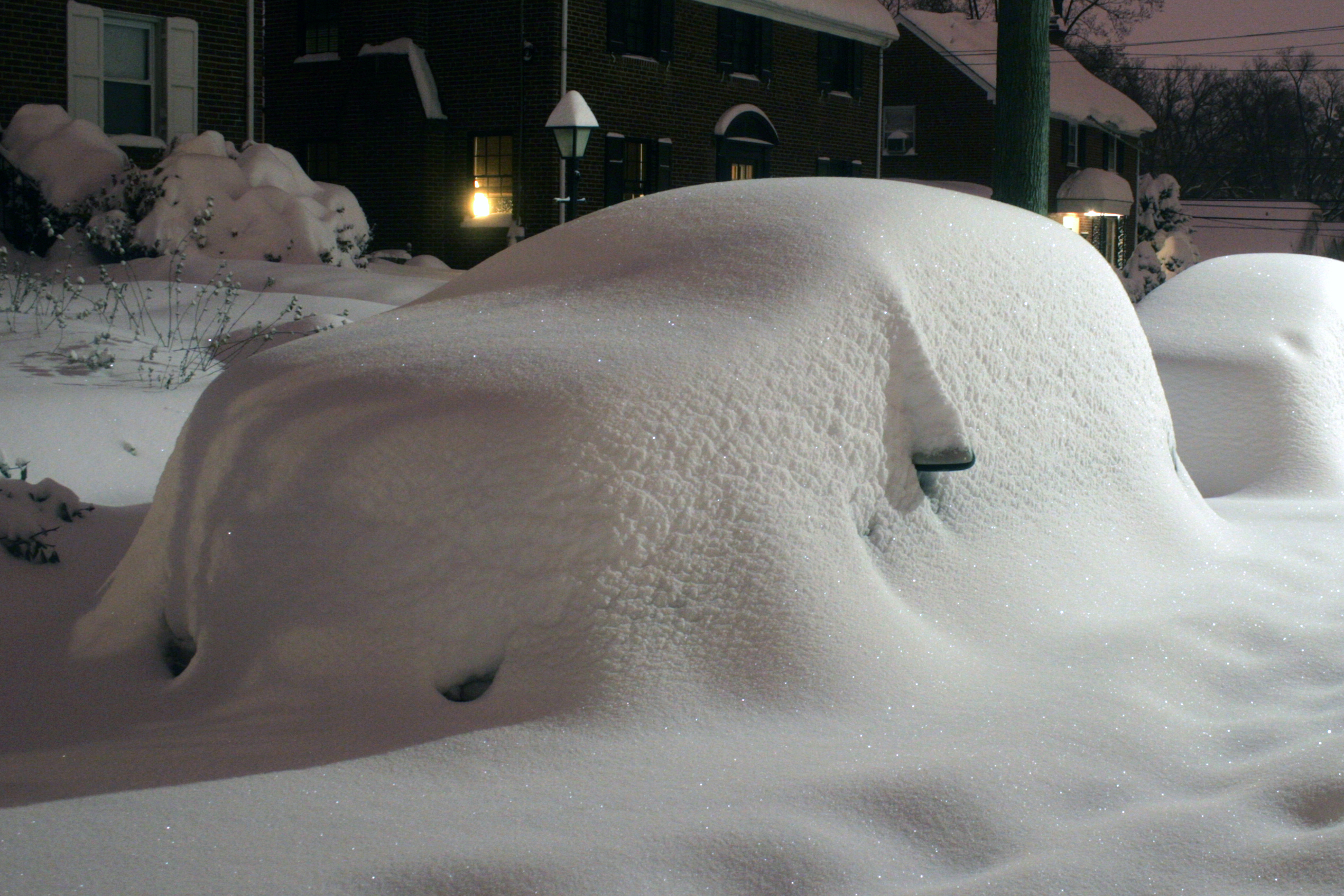
As the coastal storm transitioned eastward, it shifted the wind direction from east to north-northeast. This changed everyone in south-eastern New Jersey back over to snow. Meanwhile in the areas that remained all snow, an intense mesoscale-band of snowfall parked from eastern Pennsylvania through most of New Jersey and into the New York City area. I was getting reports of 3-4 inches of snow per hour from underneath this epic band of snow. Such areas went on to see between 24 and 31 inches of snow accumulation, with many local records shattered.
Saturday Night, an intense band of snowfall began working its way towards southern New Jersey. While western parts of southern New Jersey were subject to dry-slotting, eastern parts experienced a final burst of snowfall which tapered off in the early hours of Sunday morning.
The New Jersey coast, including barrier islands and back bays, experienced a prolonged period of strong onshore flow. Wind gusts topped out at 60mph. This along with a near-full moon contributed to water levels well into the streets and yards of many coastal residents during multiple tidal cycles. The below image is from the Beach Haven Fire Company at Engelside & the Blvd in Beach Haven, NJ.

In the end, this storm was bitter-sweet for me. While the weather enthusiast inside appreciated the record amounts of snowfall, I felt deeply for the enduring coastal residents still scarred from Sandy. This was a scary storm between the flooding, accumulation amounts, power outages, downed trees and electrical equipment, etc. Unfortunately this was the hand that mother nature dealt us on this January weekend of 2016. Hopefully more safety awareness was aggregated in this modern age of social media than not. And that is why I do this.
Please enjoy the rest of your Sunday. The storm is over. After getting about 10 hours of total sleep over the past 4 days, I’m heading into hibernation. Be safe! JC
Jonathan Carr (JC) is the founder and sole operator of Weather NJ, New Jersey’s largest independent weather reporting agency. Since 2010, Jonathan has provided weather safety discussion and forecasting services for New Jersey and surrounding areas through the web and social media. Originally branded as Severe NJ Weather (before 2014), Weather NJ is proud to bring you accurate and responsible forecast discussion ahead of high-stakes weather scenarios that impact this great garden state of ours. All Weather. All New Jersey.™ Be safe! JC


LOCAL FORECAST | INTERACTIVE RADAR | LATEST NJ WEATHER ALERTS | WEDDING FORECAST| PRIVACY POLICY
© Copyright 2025 Weather NJ LLC. All Rights Reserved.
Some information that can be found on our website is provided by a private weather station and is not an officially recognized station for weather reporting. Though we always strive to achieve accurate reporting for our own use, it is important that you do NOT depend on the data provided here for any purpose.
