

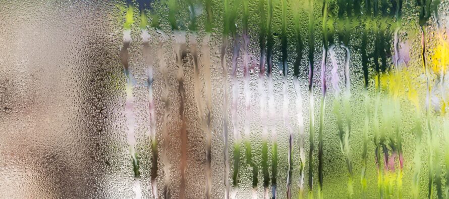
Hotter Humid Pattern Sustains
Discussion: Established and prolonged ridging for the E US is still not expected anytime soon. We may see this develop for the second half of July. But for now, we’ll stay in a low-to-average geopotential height field. This basically will cap high temps in the low-to-mid 90s and keep every day humid and unsettled meaning showers and thunderstorms can develop anytime anywhere within an overall clear/dry day. The ridging I am talking about for later in the month is the kind of setup that allows temps in the 100s but with lesser storms (capping inversions likely)…until a cold front pushes through. But yeah for now, we’re pretty typical and average for July…just stormier than usual. It’s been a strange year so far of below-average temps with dry low humidity conditions. We’ve now obviously turned the corner towards traditional heat and humidity. Honestly, thank goodness we’re not hitting near 100 with this humidity (dews well north of 70). It would be disgusting and hazardous.
Wednesday (July 5) high temperatures reached into the lower-90s for many away from the ocean with the coast hanging in the 80s. Skies should remain clear and humid outside of the few popcorn cells that formed in SNJ/SENJ earlier. Winds should remain light out of the E/NE as overnight temps drop to the 65-70 range.
Thursday (July 6) high temperatures should reach into the lower-90s away from the ocean and lower-80s near the coast. Skies should be mixed with sun and clouds with a humid feel. A small chance of isolated pop-up showers/thunderstorms for afternoon/early evening hours. Winds should be light out of the SE. Overnight lows should again drop to the 65-70 range.
Friday (July 7) high temperatures should reach near-90 away from the ocean and closer to 80 near the coast. Skies should be sunny and humid with showers and thunderstorms possible during afternoon/evening hours. NWNJ is favored over SENJ for showers and thunderstorms. Winds should be light out of the SE. Overnight lows should once again settle in the 65-70 range.
Saturday (July 8) high temperatures should reach the mid-to-upper 80s away from the ocean and closer to 80 near the coast. Skies should be mixed with more clouds than sun and with a humid feel. Showers and thunderstorms are possible during afternoon/evening hours. Winds should be light out of the SE. Overnight lows should fall into the 65-70 range…shocking right?
Sunday (July 9) high temperatures should reach near-80 for most NJ locations. Skies should be mixed with more clouds than sun with showers and thunderstorms likely. Humidity should remain elevated. Winds should be light-to-breezy out of the S. Overnight lows should range from mid-60s to lower-70s from NNJ elevations to SNJ coasts.
An early look at next week indicates more heat and humidity with unsettled conditions. Typical summer stuff IMO. Sunny days, stormy afternoons, clearing night skies, but all with lingering humidity. I’ll probably fine tune a weekend outlook on Friday. Have a great rest of your Wednesday and please be safe! JC
Premium Services
KABOOM Club offers inside info forecast discussion, your questions answered, and early storm impact maps (ahead of the public). At a buck per month, it’s an extremely feasible way to show support.
My Pocket Meteorologist (MPM), in partnership with EPAWA Weather Consulting, offers professional/commercial interests, whose businesses depend on outdoor weather conditions (snow plowing, landscaping, construction, etc.), with hyper-local text message alerts/forecasts and access to the MPM premium forum—the most comprehensive and technical forecast discussion available for PA and NJ.
Jonathan Carr (JC) is the founder and sole operator of Weather NJ, New Jersey’s largest independent weather reporting agency. Since 2010, Jonathan has provided weather safety discussion and forecasting services for New Jersey and surrounding areas through the web and social media. Originally branded as Severe NJ Weather (before 2014), Weather NJ is proud to bring you accurate and responsible forecast discussion ahead of high-stakes weather scenarios that impact this great garden state of ours. All Weather. All New Jersey.™ Be safe! JC


LOCAL FORECAST | INTERACTIVE RADAR | LATEST NJ WEATHER ALERTS | WEDDING FORECAST| PRIVACY POLICY
© Copyright 2025 Weather NJ LLC. All Rights Reserved.
Some information that can be found on our website is provided by a private weather station and is not an officially recognized station for weather reporting. Though we always strive to achieve accurate reporting for our own use, it is important that you do NOT depend on the data provided here for any purpose.
